**IRELAND FEUILLE N 2 SOUTH* (IRISH ATLASES &)
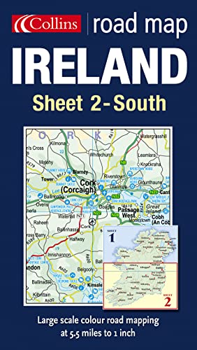

5.5 miles to 1 inch 1:350,000 approx. Clear, colourful, large scale mapping, ideal for touring and route planning. Updated in 2005. MAIN FEATURES / Extremely clear, large scale, colourful road mapping / Heights shown by attractive layer tints / Full index to place names INCLUDES / All motorways, classified roads and most minor roads / Places of interest shown by attractive tourist symbols / Distances between major settlements shown AREA OF COVERAGE This is the southern sheet of the two sheet map series which covers the whole of Ireland. This sheet extends as far north as Millingar (north of Dublin). WHO THE PRODUCT IS OF INTEREST TO An essential purchase for anyone motoring around the southern part of Ireland.
"synopsis" may belong to another edition of this title.
- PublisherCOLLINS
- Publication date2005
- ISBN 10 0007170092
- ISBN 13 9780007170098
- BindingMap
(No Available Copies)
Search Books: Create a WantIf you know the book but cannot find it on AbeBooks, we can automatically search for it on your behalf as new inventory is added. If it is added to AbeBooks by one of our member booksellers, we will notify you!
Create a Want