The Book of the World - Hardcover
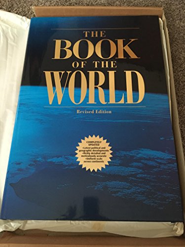

An atlas featuring maps of the regions, countries, and cities of the world accompanied by satellite photographs and other materials
"synopsis" may belong to another edition of this title.
Review:
Those who say the world is getting smaller have obviously not seen Macmillan's revised edition of The Book of the World. Measuring 20 by 14 inches and weighing 19 pounds, this atlas gives the reader a new appreciation of what it means to bear the weight of the world on your shoulders. Set the behemoth down (gingerly) and open the cover, however, and you enter the world in ways previously not possible without joining NASA. The first glorious 23 pages are satellite photos of the Earth from space, showing the Grand Canyon and Mississippi Delta, Argentina's Pampas and Iceland's Vatnajokull Glacier, Ethiopia's Blue Nile and Australia's Simpson Desert in incredibly colorful photographic detail.
From Booklist:
From there, The Book of the World moves into the more regularly charted atlas domain of the world's natural environments and features (covering everything from polar zones and prairie to high mountains, subtropical monsoon forests, and a variety of deserts, followed by pages of savanna, volcano, and rift valley, coral reef, tidal flats, and river oasis). Then come the maps, 335 pages of them. Based on a new digital cartographic database and advanced cartographic techniques, the use of color is more realistic, with subtle gradations representing fine distinctions in ecological zones. There are overview maps that show the spatial relationships between continents, oceans, and nations, and full-page city maps that show the metro stops in Paris, the Nile bridges in Cairo, and the streets of San Francisco. They are sensational maps, with enough detail (both physical and political) to be useful, yet easy on the eyes and brain. In maps of Asia, Europe, Africa, and the Americas, all the major thoroughfares of road, rail, and ferry are shown, as well as airport locations, providing practical information and emphasizing the connectivity of the world.
This book is a luxury, and its quality invites and promotes the luxurious use of time, poring over maps the way people used to do, pondering what it would be like to check out the Spratly Islands or climb Mt. Remarkable, to traipse through Djibouti or visit Mandalay. You can learn a lot about the world while you focus on strange city names and notice how much desert there is between towns and water between lands.
Created by the Bertelsmann Cartographic Institute in Germany, The Book of the World is the result of eminent cartographers the world over who put aside the usual political constraints that have traditionally interfered with map-sharing and collaborated to produce this remarkable volume. If not actually portable in the palm of your hand, the world as presented here provides a global perspective within which to view the intricacies of the detail pages. The beauty of the craftsmanship, the high quality that is standard on every page, celebrate aesthetics and a fascination with our planet, while the maps remind us of the physical truths of the world--you can zap e-mail from Tokyo to Thule in a nanosecond, but it's still a long way as the crow flies. --Stephanie Gold
This new edition of the massive Book of the World was not available in time to be included in "An Evaluation of Current World Atlases," which was published in the January 1 & 15 issue of RBB. Now that the revised edition is out, it is understandable that the publisher calls it a revised rather then a second edition. Revisions to the maps are minimal: the changing of Zaire to Democratic Republic of the Congo, the reversion of Hong Kong into China, the new capital of Bolivia (Sucre), and a few name changes for cities in Armenia, India, and Russia. Based on user input, mistakes have been corrected, including correctly labeling Lake George and Schroon Lake, New York (although Schroon Lake is not in the index). Statistics for countries have been revised in the "Data and Facts" section. This section lists brief, basic information on population, life expectancy, GNP per capita, illiteracy, etc.
Sections unchanged in the revised edition include the 264 pages of maps from the database of the famous cartographic institute, Bertelsmann; more than 40 pages of satellite photographs of different environments (e.g., coral reef [Maldive Islands], rift valley [East Africa], glacier [Aletsch Glacier]); and the full-page satellite photographs of the Mississippi Delta, Anti Atlas Mountains in Morocco, and other stunning geographic features of the world. Although the index has 100,000 entries, there still are familiar place-names that are not listed (Marblehead, Massachusetts; Thun, Switzerland; Montalcino, Italy). Libraries that are interested in a larger index of place-names still need to use the Times Atlas of the World (ninth ed., Times, 1994) with its 200,000-term index-gazetteer. A new edition of the Times atlas will be out later this year.
The Book of the World depicts the world as a beautiful place and illustrates how modern technology benefits the publication of a book. This is a comprehensive atlas and also provides an education in geography. Libraries that have the first edition [RBB Jl 96] will have to decide if minimal changes warrant buying the revised edition. Any library without the first edition should certainly consider purchase of this fantastic atlas.
"About this title" may belong to another edition of this title.
- PublisherMacmillan Library Reference
- ISBN 10 0028649664
- ISBN 13 9780028649665
- BindingHardcover
- Number of pages533
Top Search Results from the AbeBooks Marketplace

Stock Image
The Book of the World
Published by
Macmillan Publishing
(1999)
ISBN 10: 0028649664
ISBN 13: 9780028649665
Used
Hardcover
Quantity: 1
Seller:
Rating
Book Description Hardcover. Condition: Very Good. Binding is tight and square. Pages are clean and unmarked. Ex-library with usual markings. Heavy, over-sized book will require additional postage. Seller Inventory # 02711
Buy Used
US$ 150.00
Convert currency