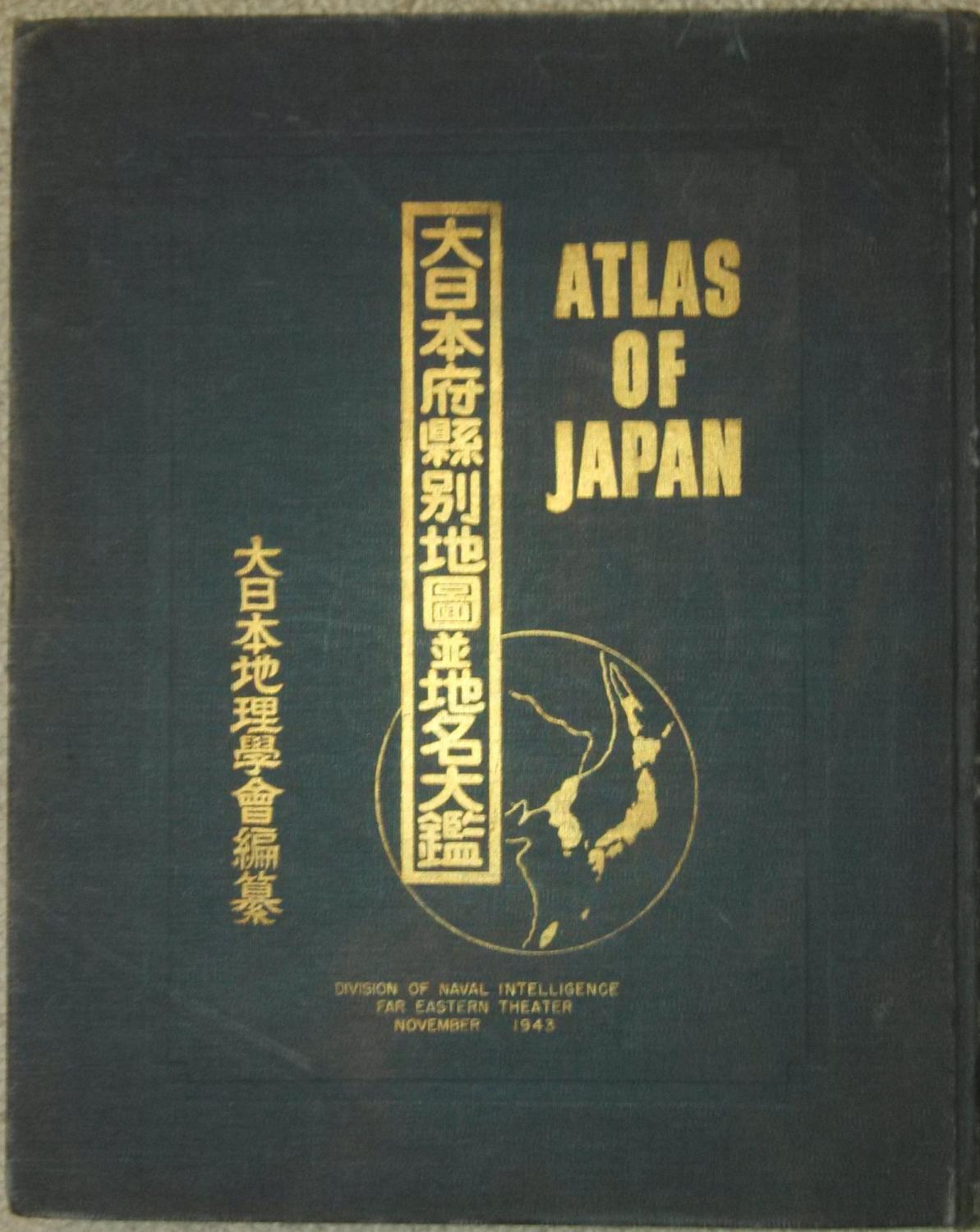
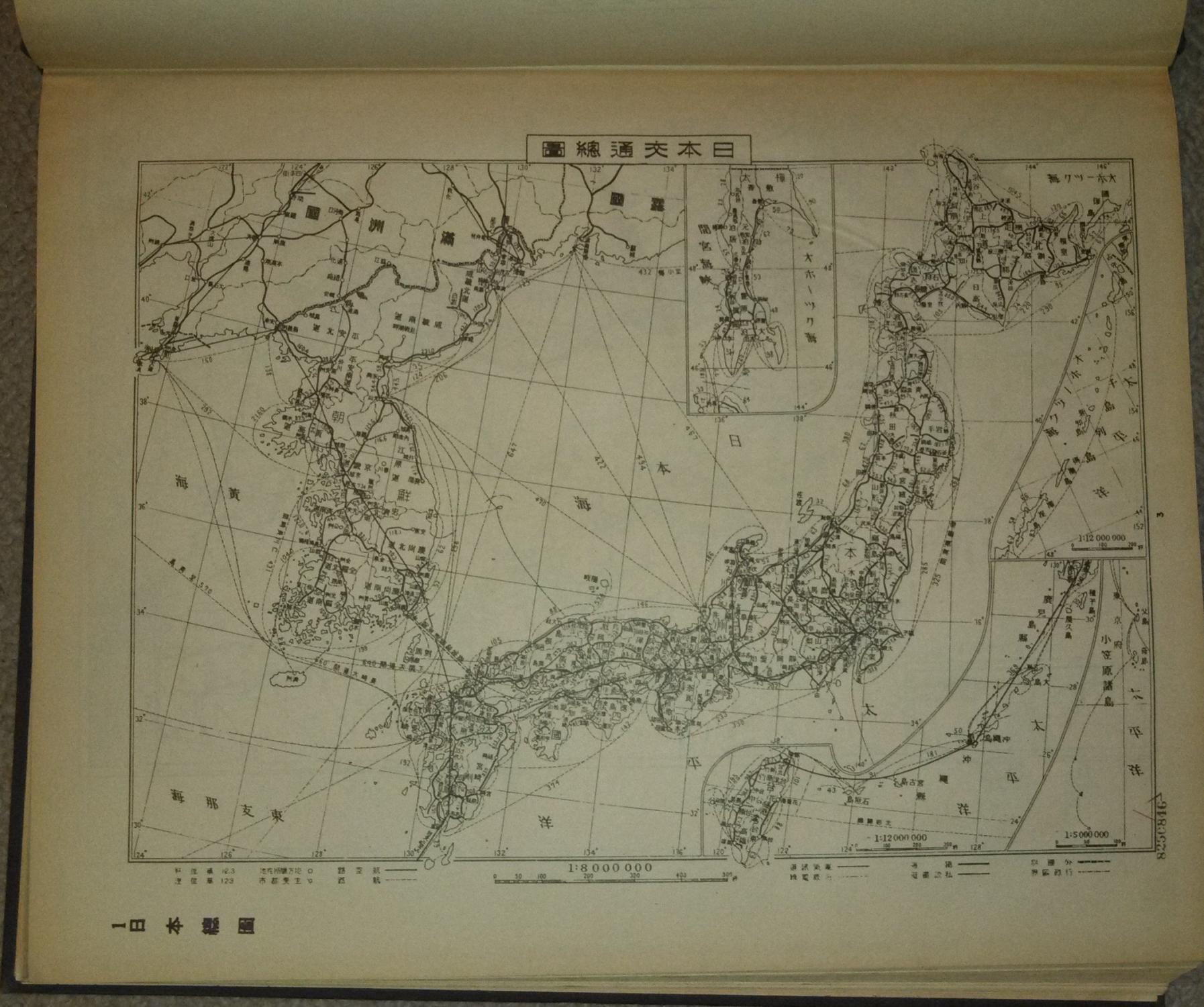
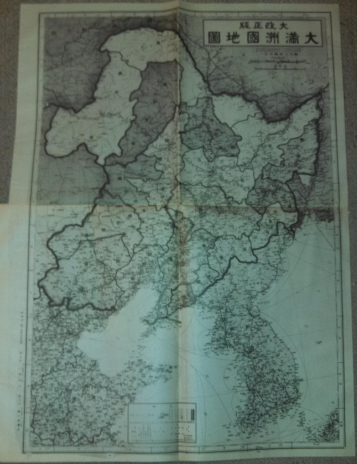
About this Item
409 pp., maps. In Japanese. ex-library, cover wear, stamps on outside edges, call number on spine, stamps on 1st blank page, stamp on last blank page, a few small edge tears, last fold-out map of Tokyo has a large tear and a crease, pages are complete and unmarked. This large-format atlas was lent to Japanese-language learners in the United States Navy in preparation for the possible invasion of Japan. All text is in Japanese. It was apparently made as a photolithograph from an earlier Japanese publication. Includes detailed maps of Japan, Taiwan, Chosen (Korea), Nan'yo (Japanese South Pacific Mandate), and Manchoukuo (Manchuria). 0.0. Seller Inventory # AMA011214-3
Bibliographic Details
Title: Atlas of Japan
Publisher: Division of Naval Intelligence, Far Eastern Theater
Publication Date: 1943
Binding: Hardcover
Condition: Good
Store Description
We guarantee the condition of every book as it's described on the Abebooks web sites. If you're dissatisfied with your purchase (Incorrect Book/Not as Described/Damaged) or if the order hasn't arrived, you're eligible for a refund within 30 days of the estimated delivery date. If you've changed your mind about a book that you've ordered, please use the Ask bookseller a question link to contact us and we'll respond within 2 business days.
Shipping costs are based on books weighing 2.2 LB, or 1 KG. If your book order is heavy or oversized, we may contact you to let you know extra shipping is required.
Payment Methods
accepted by seller
Money Order PayPal Bank Draft