Items related to Chattanooga, TN Vicinity (City Wall Maps)

This edition Wall Map of Chattanooga, Tennessee and vicinity by Universal Map measures 64 x 54 , provides up-to-date cartography at a scale of 1 = 1.33 miles, and is printed in color with a markable/washable laminated surface. Includes hanging rails mounted on top and bottom. Cities are indexed on the face of the map.
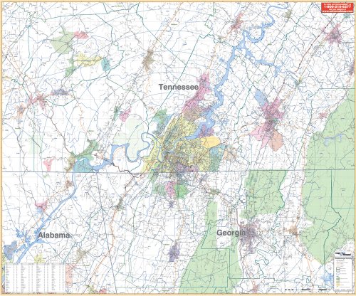
The area of coverage includes Bradley, Grundy, Hamilton, Marion, Sequatchie, Counties with portions of Coffee, Bledsoe, Franklin, Meigs, McMinn, Polk and Rhea Counties in Tennessee; and in Georgia, includes all of Dade, Catoosa, Whitfield, Walker Counties with portions of DeKalb, Jackson, Murray, and Gilmen Counties, with the following boundaries: North: 35 miles north of Chattanooga, including Athens in McMinn County and Dayhton in Rhea County; South: 35 miles south of Chattanooga, including Resaca in Gordon County, GA; East: 40 miles east of Chattanooga, including Benton and Etowah in Polk County; West: 35 miles west of Chattanooga, including Sewanee, Monteagle, and Hollywood.
Details include major streets, all highways, county lines, airports, parks, water features, mileage circles, ZIP codes and boundaries, and longitude/latitude lines.
Railed wall maps can be turned into pull down maps on spring rollers for an additional $30.
"synopsis" may belong to another edition of this title.
- PublisherKappa Map Group
- Publication date2003
- ISBN 10 0762538635
- ISBN 13 9780762538638
- BindingMap
- Number of pages1
(No Available Copies)
Search Books: Create a WantIf you know the book but cannot find it on AbeBooks, we can automatically search for it on your behalf as new inventory is added. If it is added to AbeBooks by one of our member booksellers, we will notify you!
Create a Want