Items related to National Geographic, Trails Illustrated, Acadia National...
National Geographic, Trails Illustrated, Acadia National Park: Maine, USA (Trails Illustrated - Topo Maps USA)
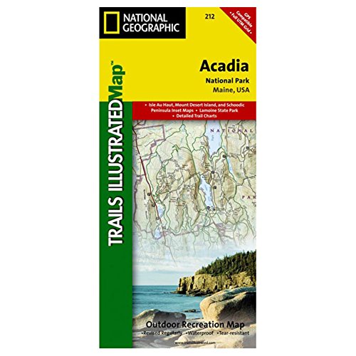

The Trails Illustrated / National Geographic Acadia National Park, ME map is a superb tool for exploring one of America's best outdoor recreational areas. These Trails Illustrated topographic maps are the most comprehensive recreational maps for the area. This Trails Illustrated topographic map is the most comprehensive recreational map for Acadia National Park, located along the beautiful Atlantic coast in Maine. Updated to reflect road closings, new trails, and campground relocation; it also includes detailed trail information, points of interest, trailheads, picnic areas, facilities, and more. Features Mount Desert Island, Sestern Mountain, Norwood Ridge, Freeman Ridge, Isle au Haut, Marshall Island, Swans Island, Western Bay, Mount Desert Narrows, Frenchman Bay, Eastern Way, Eastern Passage, Long Pond, Seal Cove Pond, Echo Lake, Somes Sound, Upper and Lower Hadlock Pond, Jordan Pond, and Eagle Lake. More than just a map, National Geographic Trails Illustrated topographic maps are designed to take you into the wilderness and back. Printed on tear-resistant, waterproof material, this map can go anywhere you do. Each map is based on exact reproductions of USGS topographic map information, updated, customized, and enhanced to meet the unique features of each area. The maps include valuable wilderness tips and Leave No Trace guidelines, along with updated trails, trailheads, points of interest, campgrounds, and much more. With a new color palette and stunning shaded relief, backcountry navigation has never been easier.Tear resistant paper.Includes complete area and emergency info.Maps are 2 sided.Includes Emergency contact info and addresses.Marked trail mileages and descriptions.Includes UTM grids for use with your GPS unit..
"synopsis" may belong to another edition of this title.
- PublisherTrails Illustrated
- Publication date2001
- ISBN 10 0925873950
- ISBN 13 9780925873958
- BindingMap
- Number of pages1
Buy New
Learn more about this copy
US$ 29.82
Shipping:
FREE
Within U.S.A.
Top Search Results from the AbeBooks Marketplace
Stock Image
National Geographic, Trails Illustrated, Acadia National Park: Maine, USA (Trails Illustrated - Topo Maps USA)
Seller:
Rating
Book Description Map. Condition: New. Map. Seller Inventory # DADAX0925873950
Buy New
US$ 29.82
Convert currency