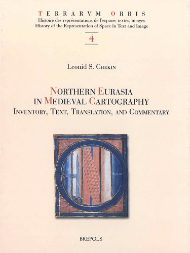
Items related to Northern Eurasia in Medieval Cartography: Inventory,...
Northern Eurasia in Medieval Cartography: Inventory, Texts, Translation, and Commentary (Terrarvm Orbis) - Hardcover

"synopsis" may belong to another edition of this title.
"About this title" may belong to another edition of this title.
- PublisherBrepols Publishers
- Publication date2006
- ISBN 10 2503514723
- ISBN 13 9782503514727
- BindingHardcover
- Number of pages498
Buy New
Learn more about this copy
Shipping:
FREE
Within U.S.A.
Top Search Results from the AbeBooks Marketplace
Northern Eurasia in Medieval Cartography
Book Description hardcover. Condition: New. 1st. Seller Inventory # 86751
Northern Eurasia in Medieval Cartography: Inventory, Texts, Translation, and Commentary (TERRARUM ORBIS) [FRENCH LANGUAGE - Hardcover ]
Book Description Hardcover. Condition: new. Seller Inventory # 9782503514727
Northern Eurasia in Medieval Cartography: Inventory, Texts, Translation, and Commentary
Book Description Condition: New. Seller Inventory # V9782503514727
Northern Eurasia in Medieval Cartography: Inventory, Texts, Translation, and Commentary
Book Description Condition: New. Seller Inventory # V9782503514727
Northern Eurasia in Medieval Cartography Inventory, Texts, Translation, and Commentary
Book Description Rilegato. Condition: nuovo. Dust Jacket Condition: nuovo. prima edizione. Terrarum Orbis (TO 4) L. S. Chekin Northern Eurasia in Medieval Cartography Inventory, Texts, Translation, and Commentary 498 p., 120 b/w ill. + 48 colour ill., 210 x 270 mm, 2006 ISBN: 978-2-503-51472-7 Languages: English, Latin Hardback The publication is available. Retail price: EUR 120,00 Scythia and the islands in the ocean, the farthest northern and northeastern regions of the world known to ancient and medieval geographers, roughly correspond to modern-day Scandinavia, Russia, eastern Europe, and central Asia. Those areas figured prominently in cartography of the Middle Ages. The mythical island of Scandza, the land of the Amazons, the apocalyptic tribes of Gog and Magog, and other traditional symbols of chaos and barbarity existed side by side and often merged with new knowledge about people, cities, and states. The book, originally published in Russian as Kartografiia khristianskogo srednevekovia (Moscow: Vostochnaia literatura, 1999), offers an analysis of 198 Western European and Byzantine maps that date between the eighth and thirteenth centuries and contain information about the north and northeast of the inhabited world. The maps are divided into fifteen groups. Each group of maps is discussed in its separate chapter and all the relevant place names and other legends on the maps are transcribed and translated into English. Included in the book are comprehensive glossaries, which comprise the names of persons, places, ethnicities, and animals, and provide commentaries on the cartographic legends. The book features reproductions of individual maps and their details. Leonid S. Chekin is Leading Research Associate at the Institute for the History of Science and Technology of the Russian Academy of Sciences. Review "The exellence of the reproductions, as well as Chekin's useful and detailed entries, make this a valuable reference work for the scholar." ( E. Edson, in The Portolan 26 (2006), p. 57-58) ?L.C. has provided an excellent guide to 198 western European and Byzantine maps dating between the eighth and thirteenth centuries. Like other volumes of the series ?Terrarum Orbis? this handsome book combines a good general overview with attention to fine nuances of medieval cartography. Accurate and reliable transcriptions and translations and high-quality reproductions, many in color, make the information presented in the maps accessible to both experts and the general audience.? (Natalia Lozovsky, in Speculum 82 (2007), p. 421) "The major accomplishment of the book lies in its remarkable treasury of cartographical documents and in the way these sources are fitted together. This cartographic collection provides a background against which to assess the general context of development of geographical ideas about northern Eurasia. The result of Chekin's thoughtful research, however, should appeal to everyone intereszted in medieval maps." (Alessandro Scafi, in Imago mundi 59:1 (2007), p. 121) "The author and publishers are to be congratulated on making this important volume available to scholars and others in the English-speaking world. It will provide a significant aid to many kinds of scholarly endeavour in cartographic history and cognate areas." (D. B. Shaw, in: The Slavonic and East European Review 86 (2008), p. 548) "Cet ouvrage, fruit d'un travail de longue haleine, met à la disposition des lecteurs une information abondante sur des sujets peu communément traité en Europe occidentale. [.] un travail réalisé avec soin et intelligence, qui enrichit considérablement notre connaissance des mappesmondes médiévales." (Anna-Dorothée von den Brincken, in: Cahiers de civilisation médiévale, 54 (2011), p. 409) Language : english & Latin text codice articolo 012983. Seller Inventory # 012983

