2013 Collins Britain & Ireland Handy Road Atlas (International Road Atlases) - Softcover

A collection of extremely clear, route-planning maps of Britain and Ireland that fits neatly into the glovebox, pocket, or bag
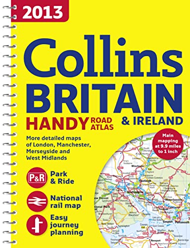
This handy road atlas makes for the ideal traveling companion. The maps of Britain are at 9.9 miles to 1 inch and the whole of Ireland is covered at 15.8 miles to 1 inch. There is a selection of more detailed urban-area maps at a 4.5 miles to 1 inch scale to aid route planning in these busy areas. The atlas also includes national rail map for planning your complete journey; money-off vouchers from Europcar and Castle Cover Insurance; road maps that focus on the main roads, motorways, and settlements; and useful distance-calculator chart highlighting distances between the major towns.
"synopsis" may belong to another edition of this title.
About the Author:
Collins UK is a leading information-led publisher of illustrated and narrative nonfiction.
"About this title" may belong to another edition of this title.
- PublisherHarperCollins UK
- Publication date2012
- ISBN 10 0007468660
- ISBN 13 9780007468669
- BindingSpiral-bound
- Number of pages80
- Rating
Top Search Results from the AbeBooks Marketplace

Stock Image
2013 Collins Handy Road Atlas Britain
Published by
HarperCollins UK
(2012)
ISBN 10: 0007468660
ISBN 13: 9780007468669
Used
Paperback
Quantity: 1
Seller:
Rating
Book Description Paperback. Condition: Very Good. The book has been read, but is in excellent condition. Pages are intact and not marred by notes or highlighting. The spine remains undamaged. Seller Inventory # GOR004840904
Buy Used
US$ 1.00
Convert currency
Stock Image
2013 Collins Handy Road Atlas Britain
Published by
Collins
(2012)
ISBN 10: 0007468660
ISBN 13: 9780007468669
Used
spiral_bound
Quantity: 1
Seller:
Rating
Book Description spiral_bound. Condition: Good. All orders are dispatched the following working day from our UK warehouse. Established in 2004, we have over 500,000 books in stock. No quibble refund if not completely satisfied. Seller Inventory # mon0006770034
Buy Used
US$ 2.74
Convert currency
Stock Image
2013 Collins Britain & Ireland Handy Road Atlas (International Road Atlases)
Published by
HarperCollins UK
(2012)
ISBN 10: 0007468660
ISBN 13: 9780007468669
Used
Spiral-bound
Quantity: 1
Seller:
Rating
Book Description Spiral-bound. Condition: Used: Good. Seller Inventory # SONG0007468660
Buy Used
US$ 33.94
Convert currency