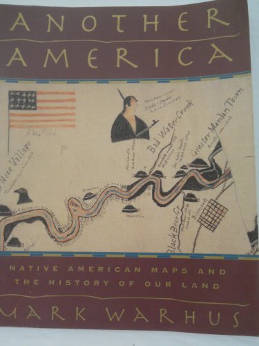
Another America: Native American Maps and the History of Our Land - Softcover

The Europeans who conquered the Americas and their descendants were not the first to map the hemisphere, museum curator Mark Warhus writes in this fascinating, richly illustrated study of Native American cartography. Indian maps--made on buffalo skins, rocks, bark, and, later, paper--claimed territorial rights, explained treaties among nations, delineated trade routes, and showed the locations of resources. Many of those maps wound up in dusty attics and the back shelves of museums, where Warhus has hunted them out; his stories of finding these lost treasures are as illuminating as his interpretations of what might be called pre-scientific ways of graphically describing the land. These maps, he writes, are of importance today not only for their own sake, but also as evidence of historic holdings in current claims over lost territories.
"synopsis" may belong to another edition of this title.
From Kirkus Reviews:
An absorbing exploration of Native American ways of mapping the land. Warhus, a museum curator, unfolds an account that is at once full of scientific complexities and of human interest. In looking at Native American maps, he invites the reader to consider the detailed knowledge of ``geography, political allegiances, and economic relations'' reflected in them, knowledge largely destroyed in the course of conquest. In case study after case study, he shows how maps made on buffalo skins, rocks, birch bark, and paper, maps that claimed territorial rights and explained treaties with other Indian nations, were simply ignored; many of those maps wound up in the drawing rooms and attics of the conquerors. Some eventually came to rest in museum collections. Warhus has been diligent in hunting these maps out, and we should be glad of it, for many of them are astonishingly detailed--one, made by an Iowa Indian in the mid-1850s, shows the tributaries of the Mississippi River nearly as well as any modern chart, while another, made by one of the last members of the Beothuck people of Newfoundland, is an extraordinary cultural atlas of the northern Atlantic seaboard at the time of the European arrival. To his account of the making of these maps Warhus adds a rich anecdotal history, telling the stories of the kidnaped Indian Miguel, forced to make maps of the southern Plains for the Spanish conquistadors, and of other Native Americans whose knowledge of the countryside was used to the invaders' advantage. Warhus closes his book with a look at modern efforts by the Hopi, Zuni, and other peoples to combine traditional geographies with modern mapmaking techniques, efforts that may be fruitful in pressing indigenous claims to lost territory. This richly illustrated work is a valuable contribution to Native American studies. (90 color and b&w illustrations, not seen) -- Copyright �1997, Kirkus Associates, LP. All rights reserved.
"About this title" may belong to another edition of this title.
- PublisherSMP
- Publication date1998
- ISBN 10 0312187025
- ISBN 13 9780312187026
- BindingPaperback
- Number of pages256
- Rating
Buy New
Learn more about this copy
US$ 6.49
Shipping:
US$ 6.75
Within U.S.A.
Top Search Results from the AbeBooks Marketplace
Stock Image
Another America: Native American Maps and the History of Our Land
Published by
Griffin, New York, New York, U.S.A.
(1998)
ISBN 10: 0312187025
ISBN 13: 9780312187026
New
Soft cover
Quantity: 1
Seller:
Rating
Book Description Soft cover. Condition: New. NEW - Native american maps and the history of our land. 241 pages 7 3/2" x 9".MADE ON BUFFALO SKINS, ROCKS, BARK, AND PAER, MANY OF THESE RARE INDIAN MAPS HAVA LAIN DOIRMANT FOR DECADES IN DUSTY ATICS AND BACK SHELVES OF MUSEUMS,UNTIL NOW. Seller Inventory # 012005
Buy New
US$ 6.49
Convert currency
Stock Image
Another America: Native American Maps and the History of Our Land
Seller:
Rating
Book Description Paperback. Condition: new. New Copy. Customer Service Guaranteed. Seller Inventory # think0312187025
Buy New
US$ 66.59
Convert currency
Stock Image
Another America: Native American Maps and the History of Our Land
Seller:
Rating
Book Description Paperback. Condition: new. New. Seller Inventory # Wizard0312187025
Buy New
US$ 70.07
Convert currency
Stock Image
Another America: Native American Maps and the History of Our Land
Seller:
Rating
Book Description Paperback. Condition: new. New. Fast Shipping and good customer service. Seller Inventory # Holz_New_0312187025
Buy New
US$ 101.64
Convert currency