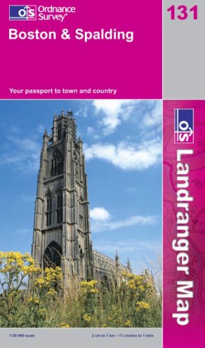
Boston and Spalding

This map is part of the Landranger (Pink) series and is designed for people who really want to get to know an area. It includes the following information: tourist information, camping and caravan sites, picnic areas and viewpoints, selected places of interest and rights of way information for England and Wales. Each map in the series covers an area of 40 km by 40 km (25 miles by 25 miles) and like other Ordnance Survey maps, National Grid squares are provided so that any feature can be given a unique reference number. Perfect for planning ahead and local excursions, these maps are full of useful information that will help you really get to know an area.
"synopsis" may belong to another edition of this title.
- PublisherOrdnance Survey
- Publication date2003
- ISBN 10 0319228258
- ISBN 13 9780319228258
- BindingMap
Buy New
Learn more about this copy
US$ 5.31
Shipping:
US$ 19.41
From United Kingdom to U.S.A.
Top Search Results from the AbeBooks Marketplace
Boston and Spalding (Landranger Maps)
Published by
Ordnance Survey
(2003)
ISBN 10: 0319228258
ISBN 13: 9780319228258
New
Paperback
Quantity: 4
Seller:
Rating
Book Description Paperback. Condition: New. Same / next day dispatch (Monday - Friday), Seller Inventory # mon0000074832
Buy New
US$ 5.31
Convert currency

