Manchester Big A-Z Street Atlas - Softcover
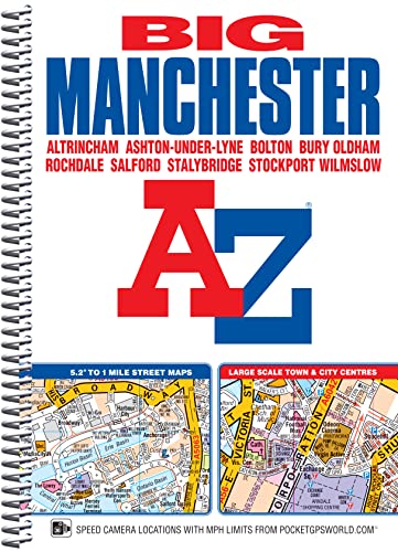

This spiral bound Big map of Manchester includes coverage of: Manchester, Altrincham, Ashton-under-Lyne, Bolton, Bury, Oldham, Rochdale, Salford and Stockport. The atlas includes 162 pages of continuous street mapping at a 'Big' 5.2 inches to 1 mile (8.2 cm to 1 km) extending to include coverage of: Cheadle, Heywood, Hyde, Irlam, Manchester Airport, Poynton, Prestwich, Radcliffe, Ramsbottom, Stalybridge, Swinton, Urmston and Wilmslow. There are also large scale city and town centre maps of Manchester, Altrincham, Ashton-under-Lyne, Bolton, Bury, Oldham, Rochdale and Stockport and a postcode map. Postcode districts, one-way streets, safety camera locations with speed limits and National Park boundaries are also featured on the mapping. The index section lists streets; selected flats, walkways and places of interest; place and area names; National Rail and Metrolink stations. There is a separate list of hospitals, hospices and NHS Walk-in Centres covered by the atlas. An easy to follow map of the Manchester Metrolink is featured on the back cover.
"synopsis" may belong to another edition of this title.
- PublisherGeographers’ A-Z Map Co Ltd
- Publication date2016
- ISBN 10 1782571280
- ISBN 13 9781782571285
- BindingSpiral-bound
- Number of pages272
(No Available Copies)
Search Books: Create a WantIf you know the book but cannot find it on AbeBooks, we can automatically search for it on your behalf as new inventory is added. If it is added to AbeBooks by one of our member booksellers, we will notify you!
Create a Want