
Order Total (1 Item Items):
Shipping Destination:

Ronald Embleton Frank Graham Maps (3 results)
Feedback
Skip to main search results
Search filters
Product Type
- All Product Types
- Books (3)
- Magazines & Periodicals (No further results match this refinement)
- Comics (No further results match this refinement)
- Sheet Music (No further results match this refinement)
- Art, Prints & Posters (No further results match this refinement)
- Photographs (No further results match this refinement)
- Maps (No further results match this refinement)
- Manuscripts & Paper Collectibles (No further results match this refinement)
Condition
- All Conditions
- New (No further results match this refinement)
- Used (3)
Binding
Collectible Attributes
- First Edition (1)
- Signed (No further results match this refinement)
- Dust Jacket (2)
- Seller-Supplied Images (2)
- Not Print on Demand (3)
Free Shipping
- Free Shipping to U.S.A. (No further results match this refinement)
Seller Rating
-
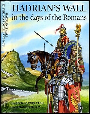
Hadrian's Wall in the Days of the Romans
Published by Published by Frank Graham, Newcastle upon Tyne Second Printing . 1990., 1990
Seller: Little Stour Books PBFA Member, Canterbury, United Kingdom
Association Member: PBFA
Seller rating 5 out of 5 stars

Hard back binding in publisher's original navy blue paper covered boards, gilt title and author lettering to the spine. 8vo. 9�'' x 6�''. Contains 320 printed pages of text with over 400 illustrations, 71 colour and monochrome maps. Very Good condition book in Very Good condition colour panoramic price clipped dust wrapper. Dust wrapper supplied in archive acetate film protection. Member of the P.B.F.A. ISBN 0859831779 ROMAN EMPIRE (Romanum).
-
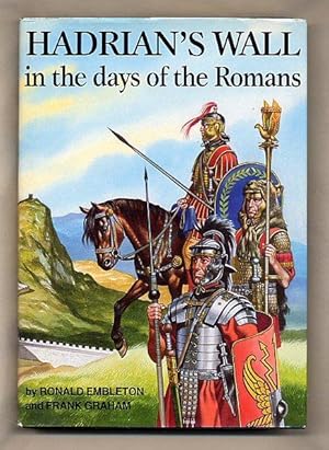
Hadrian's Wall in the Days of the Romans
Published by Published by Frank Graham, Newcastle upon Tyne Second Printing . 1990., 1990
Seller: Little Stour Books PBFA Member, Canterbury, United Kingdom
Association Member: PBFA
Seller rating 5 out of 5 stars
Hard back binding in publisher's original navy blue paper covered boards, gilt title and author lettering to the spine. 8vo. 9�'' x 6�''. Contains 320 printed pages of text with over 400 illustrations, 71 colour and monochrome maps. Fine condition book in Fine condition colour panoramic dust wrapper, not price clipped. Dust wrapper supplied in archive acetate film protection, this preserves and prolongs the life of the paper, it is not adhered to the book or to the dust wrapper. Member of the P.B.F.A. ISBN 0859831779 ROMAN EMPIRE (Romanum).
-
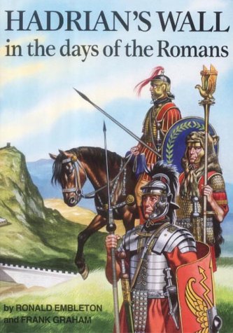
Hadrian's Wall in the days of the Romans
Published by Wrens Park Publishing, Wrens Park, England, 2003
ISBN 10: 0905778855 ISBN 13: 9780905778853
Seller: Ground Zero Books, Ltd., Silver Spring, MD, U.S.A.
Seller rating 5 out of 5 stars
First Edition
Trade paperback. Condition: Good. Ronald Embleton (Drawings) and Gill Embleton (Maps (illustrator). The format is approximately 6.5 inches by 9.375 inches. 320 pages. Decorative covers. Illustrations (wall over 400 with 71 in color). Index. Somewhat cocked. This work describes Hadrian's Wall in the north of England, at the time of its use, plus, the lives of the soldiers and civilians of the time. Ronald Sydney Embleton (6 October 1930 - 13 February 1988) was a British illustrator who gained fame as a comics artist. In the 1950s and 1960s, Embleton also pursued a career as an oil painter, and he exhibited his works widely in Britain, Germany, Australia, Canada and the USA. He was a member of the London Sketch Club and the National Society of Painters, Sculptors and Printmakers, and in 1960 was elected a member of the Royal Institute of Oil Painters. He provided illustrations for historical books and prints This well-researched book provides realistic insight into the Roman way of life and what the Roman Wall was like when in use. It tells us about the soldiers who built and garrisoned it and the civilians who lived in the towns and villages scattered along its length. Never before has such a grand attempt been made to show in vivid colorful detail the life of Roman Britain. Every building to be found inside the Roman forts and camps has been carefully reconstructed. Together with its extensive explanations of the many archaeological finds from this area, this is an important, informative, and easily accessible resource for anyone interested specifically in Hadrian's Wall, or in the Romano-British period in general. Hadrian's Wall (also known as the Roman Wall, Picts' Wall, or Vallum Aelium in Latin) is a former defensive fortification of the Roman province of Britannia, begun in AD 122 in the reign of the Emperor Hadrian. Running from Wallsend on the River Tyne in the east to Bowness-on-Solway in the west of what is now northern England, it was a stone wall with large ditches in front and behind, stretching across the whole width of the island. Soldiers were garrisoned along the line of the wall in large forts, smaller milecastles, and intervening turrets. In addition to the wall's defensive military role, its gates may have been customs posts. Hadrian's Wall Path generally runs close along the wall. Almost all the standing masonry of the wall was removed in early modern times and used for local roads and farmhouses. None of it stands to its original height, but modern work has exposed much of the footings, and some segments display a few courses of modern masonry reconstruction. Many of the excavated forts on or near the wall are open to the public, and various nearby museums present its history. The largest Roman archaeological feature in Britain, it runs a total of 73 miles. Regarded as a British cultural icon, Hadrian's Wall is one of Britain's major ancient tourist attractions. It was designated a UNESCO World Heritage Site in 1987. The turf-built Antonine Wall of AD 142 in what is now central Scotland, which briefly superseded Hadrian's Wall before being abandoned, was declared a World Heritage Site in 2008. Hadrian's Wall marked the boundary between Roman Britannia and unconquered Caledonia to the north. The wall lies entirely within England and has never formed the Anglo-Scottish border, though it is sometimes loosely or colloquially described as such. First Wrens Park edition [stated]. Presumed first printing thus.