Order Total (1 Item Items):
Shipping Destination:

Tietkins (4 results)
Skip to main search results
Product Type
- All Product Types
- Books (4)
- Magazines & Periodicals
- Comics
- Sheet Music
- Art, Prints & Posters
- Photographs
- Maps
- Manuscripts & Paper Collectibles
Condition
Binding
Collectible Attributes
- First Edition
- Signed
- Dust Jacket
- Seller-Supplied Images (2)
- Not Print on Demand (4)
Free Shipping
- Free US Shipping
Seller Location
Seller Rating
-
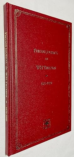
Private Journal of WH Tietkins on an Expedition to the Nullarbor Plain, February 1879 to January 1880
Published by Corkwood Press, Bundaberg, Queensland:, 1998
Facsimile reprint in a limited edition of 400 of which this is No.239. Boards with gilt titles and decoration. Small bookseller's label to front pastedown otherwise near Fine.
-
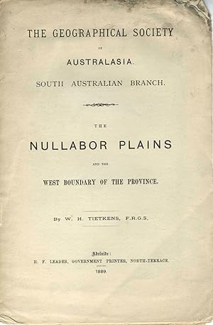
The Nullabor Plains and the West Boundary of the Province. Pamphlet
Published by H. F. Leader, Government Printer, Adelaide, 1889
Seller: Antipodean Books, Maps & Prints, ABAA, Garrison, NY, U.S.A.
Association Member: ABAA ANZAAB ESA ILAB
Seller Rating:

Paperback. Condition: Good + overall. The large folding map shows the boundary between South Australia and Western Australia from Bass Strait to Timor. Map includes the routes of Ernest Giles and John Forrest expeditions noting the geography, terrain and journey times. 8vo, 8pp, last blank, folding map. The map and front wrapper loose, as lacks back wrapper; the map has two small closed tears in bottom left blank area repaired archivally, and a mild water stain in the lower left quadrant. Slt. darker marking on top of early pages.
-

Journals of the Central Australian Exploring Expedition 1889 under Command of W.H. Tietkins. Despatched by the Central Australian Exploring and Prospecting Association .
Published by 1891, 1891
Seller: Berkelouw Rare Books, Berrima, NSW, Australia
Association Member: ANZAAB ILAB
Seller Rating:
Adelaide: C.E. Bristow 1891. 8vo. Bound preserving the orig. front printed wrapper. (ii 84pp.). Complete with both the large folding map and folding geological sketch both restored albeit slightly defective. First Edition of which 500 copies only were purportedly produced; this copy whilst ex-library bears autograph of Daisy Bates (the celebrated Australian anthropologist) on title-page. F. 17169. Scarce.
-
Journal of the Central Australian Exploring Expedition, 1889, under Command of W.H. Tietkins. Despatched by the Central Australian Exploring and Prospecting Association, .
Published by 1891, 1891
Seller: Berkelouw Rare Books, Berrima, NSW, Australia
Association Member: ANZAAB ILAB
Seller Rating:
Adelaide 1891. 8vo. Orig. printed blue paper wrappers (spine chipping at extremities). (ii, 84pp.). Complete with both fold. maps. A particularly good crisp copy, albeit ex-library, with only the stamp of the Uniting Church on front wrapper. 1st ed., extremely rare as it is not commonly known that only 500 copies of the first edition were produced. Not in Ferguson, nor in Wantrup.