
Order Total (1 Item Items):
Shipping Destination:

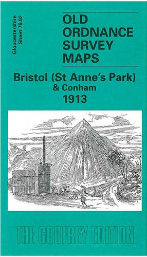
9781841515151 - Bristol St Anne's Park & Conham 1913: Gloucestershire Sheet 76 02 Old O S Maps of Gloucestershire (2 results)
Feedback
Skip to main search results
Search filters
Product Type
- All Product Types
- Books (1)
- Magazines & Periodicals (No further results match this refinement)
- Comics (No further results match this refinement)
- Sheet Music (No further results match this refinement)
- Art, Prints & Posters (No further results match this refinement)
- Photographs (No further results match this refinement)
- Maps (1)
- Manuscripts & Paper Collectibles (No further results match this refinement)
Condition
Binding
- All Bindings
- Hardcover (No further results match this refinement)
- Softcover (1)
Collectible Attributes
- First Edition (No further results match this refinement)
- Signed (No further results match this refinement)
- Dust Jacket (No further results match this refinement)
- Seller-Supplied Images (No further results match this refinement)
- Not Print on Demand (2)
Free Shipping
- Free Shipping to U.S.A. (No further results match this refinement)
Seller Rating
-
Bristol (St. Anne's Park & Conham) 1913: Gloucestershire Sheet 76.02 (Old O.S. Maps of Gloucestershire)
Published by Alan Godfrey Maps, 2003
ISBN 10: 1841515159 ISBN 13: 9781841515151
Seller: WorldofBooks, Goring-By-Sea, WS, United Kingdom
Seller rating 5 out of 5 stars

Paperback. Condition: USED_VERYGOOD. The book has been read, but is in excellent condition. Pages are intact and not marred by notes or highlighting. The spine remains undamaged.
-
Bristol (St. Anne's Park & Conham) 1913: Gloucestershire Sheet 76.02 (Old O.S. Maps of Gloucestershire)
Published by Alan Godfrey Maps, 2003
ISBN 10: 1841515159 ISBN 13: 9781841515151
Seller: GENERATIONS GONE BY, Manchester, United Kingdom
Seller rating 5 out of 5 stars
Map
No Binding. Condition: New. No Jacket. Here are the details of maps for Conham: Gloucestershire Sheet 76.02 Bristol (St Anne's Park) & Conham 1913 - published 2003; intro by Mike Bone. ISBN.978-1-84151-515-1 This detailed map covers an area to the east of Bristol, with coverage stretching from the St Anne's Park area eastward to Conham, Jefferies Hill and the western part of Hanham (junction of Jefferies Hill and Hanham Street is at eastern edge of map). Features include St Anne's Park station, Wick House, River Avon, Conham, Conham Hall, Tar & Rosin Works, quarries, New Brislington Bridge, Hanham Colliery with tramway to river, Jefferies Hill, Christ Church, boot factory, Hanham Street etc. On the reverse we include directories of Brislington and Hanham. The map links up with sheets 72.14 St Georges to the north, 76.01 Bristol SE to the west and 76.06 Brislington to the south.