
Order Total (1 Item Items):
Shipping Destination:

9781847846297 - Bristol Fishponds 1902: Gloucestershire Sheet 72 10 Old Ordnance Survey Maps of Gloucestershire (1 results)
Feedback
Skip to main search results
Search filters
Product Type
- All Product Types
- Books (No further results match this refinement)
- Magazines & Periodicals (No further results match this refinement)
- Comics (No further results match this refinement)
- Sheet Music (No further results match this refinement)
- Art, Prints & Posters (No further results match this refinement)
- Photographs (No further results match this refinement)
- Maps (1)
- Manuscripts & Paper Collectibles (No further results match this refinement)
Condition
- All Conditions
- New (1)
- Used (No further results match this refinement)
Binding
- All Bindings
- Hardcover (No further results match this refinement)
- Softcover (No further results match this refinement)
Collectible Attributes
- First Edition (No further results match this refinement)
- Signed (No further results match this refinement)
- Dust Jacket (No further results match this refinement)
- Seller-Supplied Images (No further results match this refinement)
- Not Print on Demand (1)
Free Shipping
- Free Shipping to U.S.A. (No further results match this refinement)
Seller Rating
-
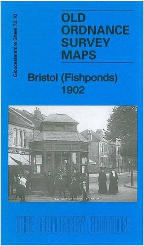
Bristol (Fishponds) 1902: Gloucestershire Sheet 72.10 (Old Ordnance Survey Maps of Gloucestershire)
Published by Alan Godfrey Maps, 2012
ISBN 10: 1847846297 ISBN 13: 9781847846297
Seller: GENERATIONS GONE BY, Manchester, United Kingdom
Seller rating 5 out of 5 stars

Map
No Binding. Condition: New. No Jacket. Here are the details of maps for Bristol Fishponds: Gloucestershire Sheet 72.10 Bristol (Fishponds) 1902 - published 2012; intro by Mike Bone. ISBN.978-1-84784-629-7 This detailed map covers the Fishponds, Ridgeway, Upper Eastville and Mayfield Park areas of Bristol. Features include tramways, Midland Railway with Stapleton (later Fishponds) station, Kingswood Junction, Hollybrook Brick Works, Chester Park area, Atlas Locomotive Works, Weighing Machine Works, Clay Hill, brick works, Greenbank Cemetery, St Mary's church, St John's Mission Church, Ridgeway Park Cemetery, Ridgeway House, part of Eastville Park, Clay Bottom etc. An 1894 directory of Fishponds is included on the reverse. The map links up with sheets 72.06 Frenchay to the north, 72.09 Ashley Down to the west, 72.11 Staple Hill to the east, 72.14 St Georges to the south.