
Order Total (1 Item Items):
Shipping Destination:

Bristol 1902 Gloucestershire Sheet (31 results)
Feedback
Skip to main search results
Search filters
Product Type
- All Product Types
- Books (21)
- Magazines & Periodicals (No further results match this refinement)
- Comics (No further results match this refinement)
- Sheet Music (No further results match this refinement)
- Art, Prints & Posters (No further results match this refinement)
- Photographs (No further results match this refinement)
- Maps (10)
- Manuscripts & Paper Collectibles (No further results match this refinement)
Condition
Binding
- All Bindings
- Hardcover (No further results match this refinement)
- Softcover (6)
Collectible Attributes
- First Edition (No further results match this refinement)
- Signed (No further results match this refinement)
- Dust Jacket (No further results match this refinement)
- Seller-Supplied Images (4)
- Not Print on Demand (31)
Free Shipping
Seller Rating
-

Bristol (St.George) 1902: Gloucestershire Sheet 72.14 (Old O.S. Maps of Gloucestershire)
Published by Alan Godfrey Maps, 2002
ISBN 10: 1841514241 ISBN 13: 9781841514246
Seller: WorldofBooks, Goring-By-Sea, WS, United Kingdom
Seller rating 5 out of 5 stars

Paperback. Condition: Very Good. The book has been read, but is in excellent condition. Pages are intact and not marred by notes or highlighting. The spine remains undamaged.
More buying choices from other sellers on AbeBooks
New offers from US$ 15.06
Used offers from US$ 8.84
Also find Softcover
-
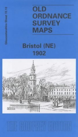
Bristol (NE) 1902: Gloucestershire Sheet 72.13 (Old O.S. Maps of Gloucestershire)
Published by Alan Godfrey Maps, 1997
ISBN 10: 0850549183 ISBN 13: 9780850549188
Seller: WorldofBooks, Goring-By-Sea, WS, United Kingdom
Seller rating 5 out of 5 stars
Paperback. Condition: USED_VERYGOOD. The book has been read, but is in excellent condition. Pages are intact and not marred by notes or highlighting. The spine remains undamaged.
More buying choices from other sellers on AbeBooks
New offers from US$ 44.68
Used offers from US$ 9.51
Also find Softcover
-
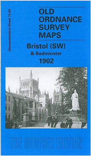
Bristol (SW) & Bedminster 1902: Gloucestershire Sheet 75.04 (Old O.S. Maps of Gloucestershire)
Published by Alan Godfrey Maps, 1998
ISBN 10: 1841510092 ISBN 13: 9781841510095
Seller: WorldofBooks, Goring-By-Sea, WS, United Kingdom
Seller rating 5 out of 5 stars
Paperback. Condition: Very Good. The book has been read, but is in excellent condition. Pages are intact and not marred by notes or highlighting. The spine remains undamaged.
More buying choices from other sellers on AbeBooks
New offers from US$ 15.06
Used offers from US$ 10.31
Also find Softcover
-
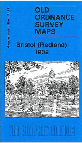
Bristol (Redland) 1902: Gloucestershire Sheet 71.12 (Old Ordnance Survey Maps of Gloucestershire)
Published by Alan Godfrey Maps, 2010
ISBN 10: 1847843581 ISBN 13: 9781847843586
Seller: WorldofBooks, Goring-By-Sea, WS, United Kingdom
Seller rating 5 out of 5 stars
Paperback. Condition: Very Good. The book has been read, but is in excellent condition. Pages are intact and not marred by notes or highlighting. The spine remains undamaged.
More buying choices from other sellers on AbeBooks
New offers from US$ 45.02
Used offers from US$ 11.86
Also find Softcover
-

Bristol (SE) 1902: Gloucestershire Sheet 76.01 (Old O.S. Maps of Gloucestershire)
Published by Alan Godfrey Maps, 1997
ISBN 10: 0850548926 ISBN 13: 9780850548921
Condition: VeryGood. Most items will be dispatched the same or the next working day.
More buying choices from other sellers on AbeBooks
New offers from US$ 45.73
Used offers from US$ 12.19
-
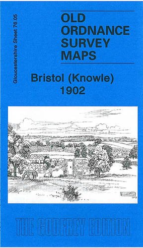
Bristol (Knowle) 1902: Gloucestershire Sheet 76.05 (Old Ordnance Survey Maps of Gloucestershire)
Published by Alan Godfrey Maps, 2009
ISBN 10: 1847842259 ISBN 13: 9781847842251
Seller: WorldofBooks, Goring-By-Sea, WS, United Kingdom
Seller rating 5 out of 5 stars
Paperback. Condition: Very Good. The book has been read, but is in excellent condition. Pages are intact and not marred by notes or highlighting. The spine remains undamaged.
More buying choices from other sellers on AbeBooks
New offers from US$ 44.68
Used offers from US$ 12.67
Also find Softcover
-
Bristol (NE) 1902: Gloucestershire Sheet 72.13
Published by Alan Godfrey Maps, 1997
ISBN 10: 0850549183 ISBN 13: 9780850549188
Seller: Pendleburys - the bookshop in the hills, Llanwrda, United Kingdom
Seller rating 5 out of 5 stars
Map
paperback. Condition: Very Good. No Jacket. folding paperback map, reprinted from the Ordnance Survey 1902, second edition of 1903, a very good copy, clean and unmarked,
-
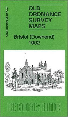
Bristol (Downend) 1902: Gloucestershire Sheet 72.07 (Old Ordnance Survey Maps of Gloucestershire)
Published by Alan Godfrey Maps, 2013
ISBN 10: 1847847404 ISBN 13: 9781847847409
Seller: GENERATIONS GONE BY, Manchester, United Kingdom
Seller rating 5 out of 5 stars
Map
No Binding. Condition: New. No Jacket. Here are the details of maps for Bristol Downend: Gloucestershire Sheet 72.07 Bristol (Downend) 1902 - published 2013; intro by Mike Bone. ISBN.978-1-84784-740-9 This detailed map covers the village of Downend, NE of Bristol, with a portion of Mangotsfield in the SE corner. Features include village centre with individual buildings neatly shown, Cleve Lodge, Clevehill, Clevehill Farm, Horseshoe pub, Christ Church, Overnhill House, Overndale, small portion of Frenchay, Stockwell Hill, Windsor Place, Crown pub, St James Street area of Mangotsfield. An 1894 directory of Downend is included on the reverse. The map links up with sheets 72.06 Frenchay to the west, 72.11 Staple Hill to the south.
-
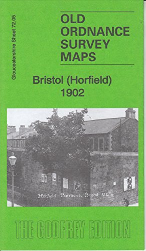
Bristol (Horfield) 1902: Gloucestershire Sheet 72.05 (Old Ordnance Survey Maps of Gloucestershire)
Published by Alan Godfrey Maps, 2016
ISBN 10: 1847849512 ISBN 13: 9781847849519
Seller: GENERATIONS GONE BY, Manchester, United Kingdom
Seller rating 5 out of 5 stars
Map
No Binding. Condition: New. No Jacket. Here are the details of maps for Bristol Horfield: Gloucs Sheet 72.05 Bristol (Horfield) 1902 - published 2016; intro by Mike Bone. ISBN.978-1-84784-951-9 This detailed map covers parts of Horfield and Stapleton Park, north of Bristol. Features include Stapleton Park, Stoke Park, Purdown Farm, Horfield Barracks, tramway, tram depot, Horfield Court Farm, Manor Farm, Wellington Hotel etc. Directories of Stapleton and Horfield are included on the reverse. The map links up with sheets 71.08 Westbury to the west, 72.06 Frenchay to the east, 72.09 Ashley Down to the south.
-
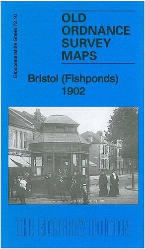
Bristol (Fishponds) 1902: Gloucestershire Sheet 72.10 (Old Ordnance Survey Maps of Gloucestershire)
Published by Alan Godfrey Maps, 2012
ISBN 10: 1847846297 ISBN 13: 9781847846297
Seller: GENERATIONS GONE BY, Manchester, United Kingdom
Seller rating 5 out of 5 stars
Map
No Binding. Condition: New. No Jacket. Here are the details of maps for Bristol Fishponds: Gloucestershire Sheet 72.10 Bristol (Fishponds) 1902 - published 2012; intro by Mike Bone. ISBN.978-1-84784-629-7 This detailed map covers the Fishponds, Ridgeway, Upper Eastville and Mayfield Park areas of Bristol. Features include tramways, Midland Railway with Stapleton (later Fishponds) station, Kingswood Junction, Hollybrook Brick Works, Chester Park area, Atlas Locomotive Works, Weighing Machine Works, Clay Hill, brick works, Greenbank Cemetery, St Mary's church, St John's Mission Church, Ridgeway Park Cemetery, Ridgeway House, part of Eastville Park, Clay Bottom etc. An 1894 directory of Fishponds is included on the reverse. The map links up with sheets 72.06 Frenchay to the north, 72.09 Ashley Down to the west, 72.11 Staple Hill to the east, 72.14 St Georges to the south.
