About this Item
Map Title: 'Carte de la partie septentrionale du Bresil.' (Map of the northern part of Brazil.) Copperplate engraving on verge type hand laid paper with watermark. Recent hand colouring. Description: This attactive map originates from: 'Atlas de toutes les parties du Globe Terrestre .', published by M. Bonne in Paris, c. 1780. Artists and Engravers: Cartographer: Rigobert Bonne, (1727 - 1795), was one of the most important cartographers of the late 18th century. He succeeded Jacques Nicolas Bellin as Royal Cartographer to France in the office of the Hydrographer at the French Depôt de la Marine. Engraved by Gaspard Andre. Condition: Fine. General age related toning and occasional light staining from handling as visible on image. Storage location: A79-36 The overall size is ca. 15 x 9.8 inch. The image size is ca. 12.6 x 8.7 inch. The overall size is ca. 38 x 25 cm. The image size is ca. 32 x 22 cm. Seller Inventory # 11280
Bibliographic Details
Title: 
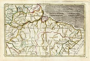
Antique Map-NORTH-BRAZIL-Bonne-1780
Store Description
Payment Methods
accepted by seller
PayPal Bank/Wire Transfer