
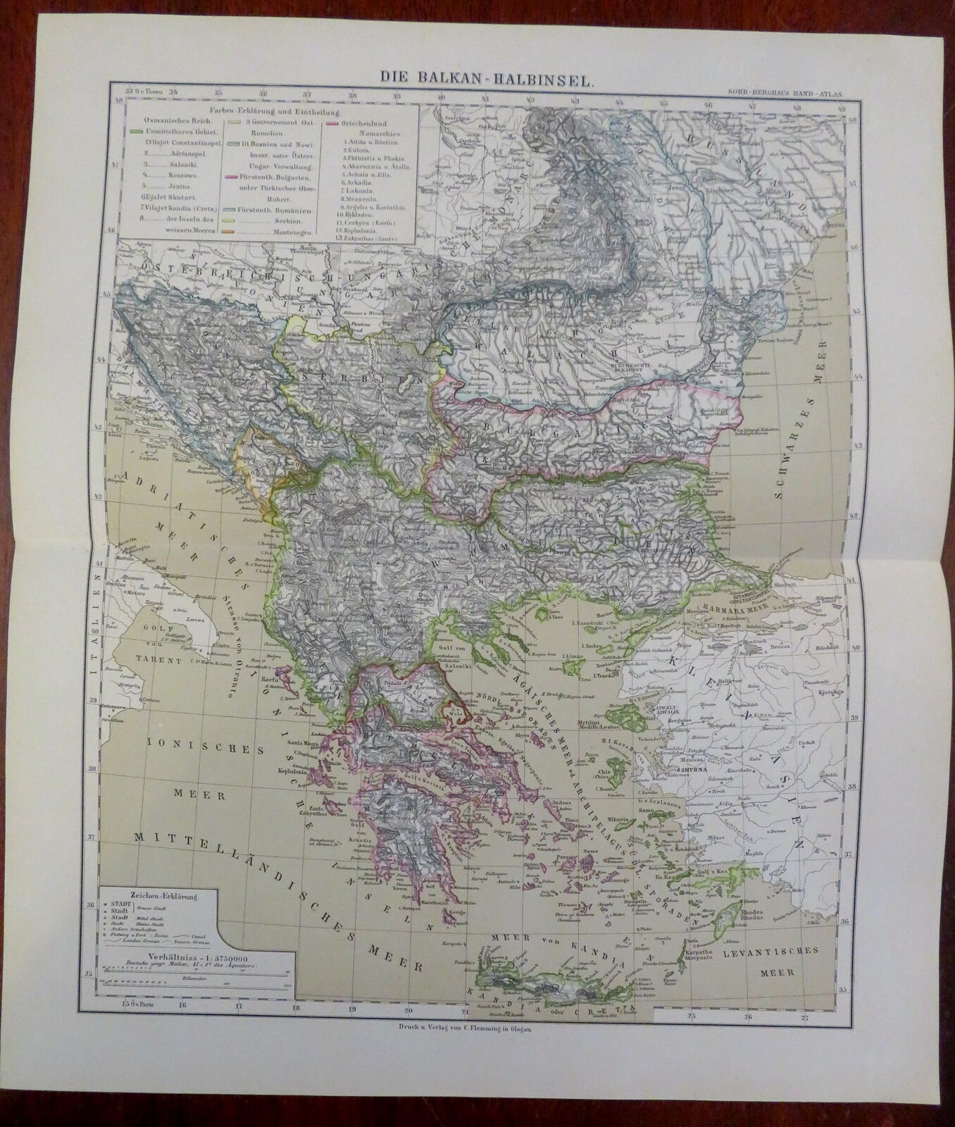
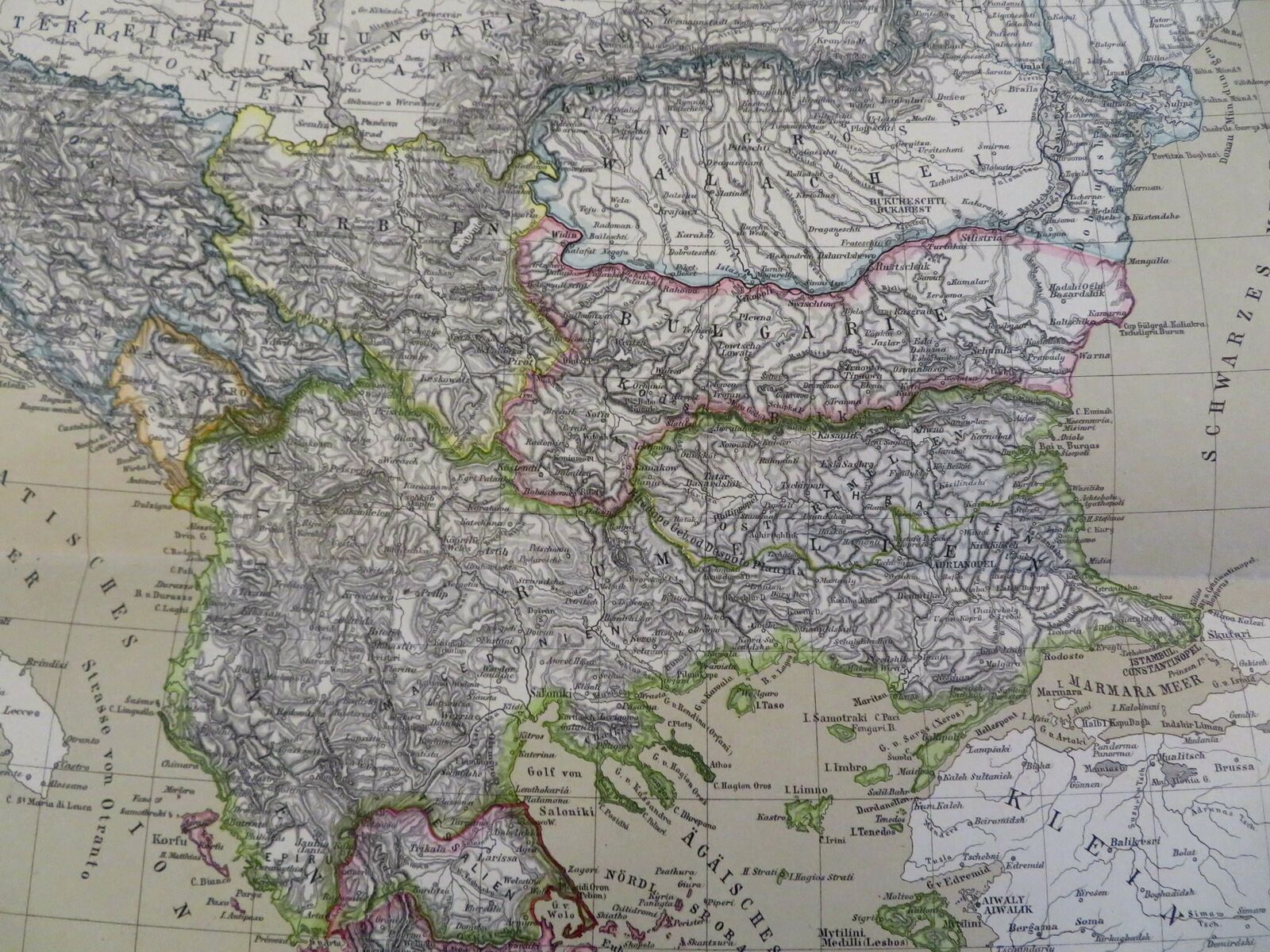
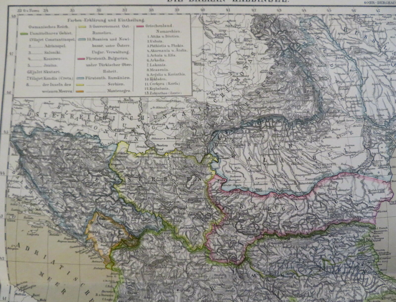
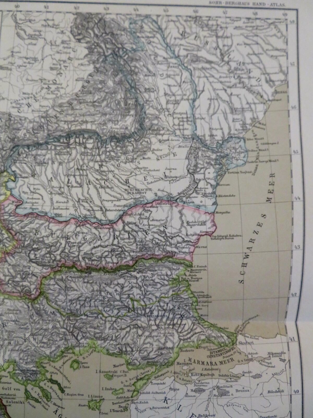
Balkan Peninsula Ottoman Empire Greece Serbia Albania 1885 Flemming detailed map
Publication Date: 1885
Used
/
Quantity: 0
Available From More Booksellers
View all copies of this book
About the Book
We're sorry; this book is no longer available. AbeBooks has millions of books. Please enter search terms below to find similar copies.
Description:
Die Balkan Halbinsel.(Old Maps, 19th Century Maps, Europe, Balkans, Ottoman Empire, Greece, Serbia, Wallachia, Bosnia, Bulgaria, Albania, Macedonia). Issued 1885, Glogau by C. Flemming. Uncommon and very detailed 19th century German color lithographed map with original outline hand color. Well preserved, nice looking example with pleasing age patina. Original center fold as issued. Maps of this era display endless variations as political boundaries change. Sheet Measures c. 15 7/8" H x 18" W. Printed Area Measures c. 13" H x 15 1/2" W. Cartographic Reference (s):Tooley's Dictionary of Mapmakers, vol. 2,[R29729]. Seller Inventory # 195512373010
Bibliographic Details
Title: Balkan Peninsula Ottoman Empire Greece ...
Publication Date: 1885
Condition: good
AbeBooks offers millions of new, used, rare and out-of-print books, as well as cheap textbooks from thousands of booksellers around the world. Shopping on AbeBooks is easy, safe and 100% secure - search for your book, purchase a copy via our secure checkout and the bookseller ships it straight to you.
Search thousands of booksellers selling millions of new & used books
New & Used Books

New and used copies of new releases, best sellers and award winners. Save money with our huge selection.
Rare & Out of Print Books

From scarce first editions to sought-after signatures, find an array of rare, valuable and highly collectible books.
