Items related to Collins Ireland motorways and main roads map: 7.5 miles...
Synopsis
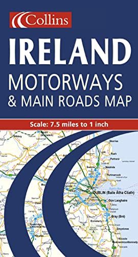
7.5 miles to 1 inch 1:475,000 Extremely clear full colour mapping, ideal for route planning. MAIN FEATURES * Colour classified roads * Selected tourist features * Comprehensive index to place names * Key to symbols is in English, French and German INCLUDES * Distance Chart * Ferry information * Selected physical features * Railways and airports AREA OF COVERAGE The whole of Ireland is covered at 7.5 miles to 1 inch. WHO THE PRODUCT IS AIMED AT The clear, easy to understand mapping is ideal for both residents and visitors who require a route planning map.
"synopsis" may belong to another edition of this title.
Language Notes
Text: English, French, German
"About this title" may belong to another edition of this title.
- ISBN 10 0004489748
- ISBN 13 9780004489742
- BindingMap
(No Available Copies)
Search Books: Create a WantIf you know the book but cannot find it on AbeBooks, we can automatically search for it on your behalf as new inventory is added. If it is added to AbeBooks by one of our member booksellers, we will notify you!
Create a Want
