Items related to Map of London
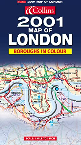

1:63,360 1 inch to 1 mile The clear, colourful mapping covers the whole of the M25 Motorway and includes comprehensive planning and administrative information supported by street level detail. MAIN FEATURES A clear, colourful map of an area extending to 20 Miles around London. The comprehensive planning and administrative information is supported by street level detail showing full road classification, place names and buildings of interest. INCLUDES * Administrative areas named and coloured for easy reference * Postcode information * All motorways, main roads and major streets numbered and named * Shows all important buildings and landmark features * Fully indexed * Information on County/Boroughs size, population, contacts etc. AREA OF COVERAGE Extends from Windsor in the west to Hornchurch in the east. From Harlow in the north to Leatherhead in the south. Covers the whole of the M25 Orbital Motorway. WHO THE PRODUCT IS AIMED AT The definitive planning map of London, essential for those concerned with administration, planning and business.
"synopsis" may belong to another edition of this title.
- PublisherCollins
- ISBN 10 0007100388
- ISBN 13 9780007100385
- BindingMap
(No Available Copies)
Search Books: Create a WantIf you know the book but cannot find it on AbeBooks, we can automatically search for it on your behalf as new inventory is added. If it is added to AbeBooks by one of our member booksellers, we will notify you!
Create a Want