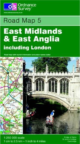
Items related to East Midlands and East Anglica and London (Road Map)

"synopsis" may belong to another edition of this title.
"About this title" may belong to another edition of this title.
- PublisherOmni Resources
- Publication date2001
- ISBN 10 0319230449
- ISBN 13 9780319230442
- BindingMap
Shipping:
US$ 9.99
From United Kingdom to U.S.A.
Top Search Results from the AbeBooks Marketplace
East Midlands and East Anglia Including London (Road Map)
Book Description Condition: Good. Most items will be dispatched the same or the next working day. Seller Inventory # wbb0022799004
East Midlands and East Anglia Including London: Sheet 5 (Road Map)
Book Description Paperback. Condition: Very Good. The eight maps in this series, released in May 2001 by the Ordnance Survey, are designed to include everything a driver needs to explore the country. A journey can be planned in advance, making full use of the colour-coded roads, restricted motorway junctions and mileage guides. They even include height and steep gradient information, making them ideal not only for motorists but also for long distance cyclists and caravanners. From major cities to small villages, each map features a unique gazetteer inside the cover to simplify the task of finding your destination. Tourist information is also included for day trippers and holiday makers including Caravan sites, historic buildings, gardens and country parks, themes and much more. The book has been read, but is in excellent condition. Pages are intact and not marred by notes or highlighting. The spine remains undamaged. Seller Inventory # GOR003912167
East Midlands and East Anglia Including London: Sheet 5 (Road Map)
Book Description Paperback. Condition: Fair. The eight maps in this series, released in May 2001 by the Ordnance Survey, are designed to include everything a driver needs to explore the country. A journey can be planned in advance, making full use of the colour-coded roads, restricted motorway junctions and mileage guides. They even include height and steep gradient information, making them ideal not only for motorists but also for long distance cyclists and caravanners. From major cities to small villages, each map features a unique gazetteer inside the cover to simplify the task of finding your destination. Tourist information is also included for day trippers and holiday makers including Caravan sites, historic buildings, gardens and country parks, themes and much more. A readable copy of the book which may include some defects such as highlighting and notes. Cover and pages may be creased and show discolouration. Seller Inventory # GOR003101524

