Items related to Mapping for Aerial Photographs

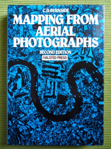
An introductory text for civil engineers, surveyors and geographers, explaining the use of aerial photography in producing mapsheets. Numerous applications include natural resource surveys, civil engineering site preparation, transport system planning, urban or rural development and cartography in remote areas. Discusses formation and adjustment of blocks and auxiliary instruments for providing control data, including most recent advances in instrumentation. Over 100 drawings and photographs.
"synopsis" may belong to another edition of this title.
- PublisherWiley
- Publication date1985
- ISBN 10 0470202300
- ISBN 13 9780470202302
- BindingHardcover
- Edition number2
- Number of pages348
- Rating
(No Available Copies)
Search Books: Create a WantIf you know the book but cannot find it on AbeBooks, we can automatically search for it on your behalf as new inventory is added. If it is added to AbeBooks by one of our member booksellers, we will notify you!
Create a Want
