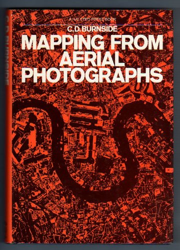
Items related to Mapping from Aerial Photographs (Chapman and Hall Chemistry...

Synopsis
An introductory text for civil engineers, surveyors and geographers, explaining the use of aerial photography in producing mapsheets. Numerous applications include natural resource surveys, civil engineering site preparation, transport system planning, urban or rural development and cartography in remote areas. Discusses formation and adjustment of blocks and auxiliary instruments for providing control data, including most recent advances in instrumentation. Over 100 drawings and photographs.
"synopsis" may belong to another edition of this title.
US$ 4.83 shipping within U.S.A.
Destination, rates & speedsSearch results for Mapping from Aerial Photographs (Chapman and Hall Chemistry...
Mapping from aerial photographs (Aspects of modern land surveying)
Seller: Abyssbooks, Crestone, CO, U.S.A.
Paperback. Condition: Very Good. A VG+ copy housed in VG jacket showing minimal wear. Solid and clean save for previous owner's name inked on inside front cover. Seller Inventory # SR-M2H4-K5WG
Quantity: 1 available
Mapping from Aerial Photographs
Seller: BookDepart, Shepherdstown, WV, U.S.A.
Hardcover. Condition: Good. Hardcover; surplus library copy with the usual stampings; reference number taped to spine; light fading, light shelf wear to exterior; otherwise contents in good condition with clean text, firm binding. Seller Inventory # 55904
Quantity: 1 available
Mapping from aerial photographs
Seller: Crossroads Books, Reno, NV, U.S.A.
Hardcover. Condition: Very Good+. Dust Jacket Condition: Very Good+. Unmarked. ; Book Description; Mylar and paper (Demco) protective cover. Dust jacket is intact with no nicks or tears. Spine has no signs of creasing. Pages are clean and not marred by notes or folds. Covers are square and without wear. ; Aspects of modern land surveying; Textbook; 8vo 8" - 9" tall; 304 pages DR3. Seller Inventory # 13432
Quantity: 1 available

