
Items related to Exploring the Dynamic Earth: Gis Investigations for...
Synopsis
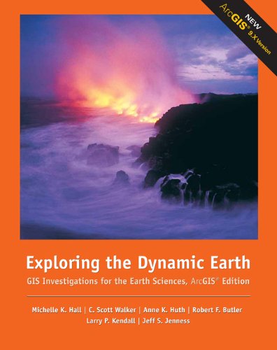
Specifically designed to work in your site-licensed ArcGIS® laboratory, the GIS Investigations for the Earth Sciences is a collection of modular investigation guides that let even novice users tap the power of the ArcGIS® software to explore, manipulate, and analyze large data sets. Carefully designed and class tested, the guides emphasize the visualization, analysis, and multimedia integration capabilities inherent to GIS. The guide leads students through a set of exercises in which they are asked to explore, analyze, and then elaborate on the information extracted from a robust GIS dataset using your laboratory's ArcGIS® software. The GIS information has been preprocessed into maps and legends, and some procedures have been automated so students can focus on the science content. The complete GIS datasets needed to work through each module are available exclusively online and have been designed to be uploaded into the ArcGIS® application already installed in your laboratory. By focusing on teaching with GIS rather than teaching about it, you can incorporate GIS easily into homework, discussions, or lab sessions. This flexible teaching resource motivates and enables your students to "learn by doing" as they use a full complement of GIS capabilities. Each module in the GIS Investigations series complements any introductory course in geology, meteorology, oceanography, physical geography, natural hazards, Earth sciences, atmospheric science, and Earth systems science. Specifically designed to work in your site-licensed ArcGIS® laboratory, the GIS Investigations for the Earth Sciences is a collection of modular investigation guides that let even novice users tap the power of the ArcGIS® software to explore, manipulate, and analyze large data sets. Carefully designed and class tested, the guides emphasize the visualization, analysis, and multimedia integration capabilities inherent to GIS. The guide leads students through a set of exercises in which they are asked to explore, analyze, and then elaborate on the information extracted from a robust GIS dataset using your laboratory's ArcGIS® software. The GIS information has been preprocessed into maps and legends, and some procedures have been automated so students can focus on the science content. The complete GIS datasets needed to work through each module are available exclusively online and have been designed to be uploaded into the ArcGIS® application already installed in your laboratory. By focusing on teaching with GIS rather than teaching about it, you can incorporate GIS easily into homework, discussions, or lab sessions. This flexible teaching resource motivates and enables your students to "learn by doing" as they use a full complement of GIS capabilities. Each module in the GIS Investigations series complements any introductory course in geology, meteorology, oceanography, physical geography, natural hazards, Earth sciences, atmospheric science, and Earth systems science.
"synopsis" may belong to another edition of this title.
About the Authors
Michelle Hall and The SAGUARO Project team have developed a series of four GIS INVESTIGATIONS over the course of the last few years. These materials have been extensively class-tested at both the college and high-school level using funding from the National Science Foundation (NSF).
C. Scott Walker is with Harvard University.
Anne Huth is with Science Education Solutions.
Larry Kendall is an independent consultant.
"About this title" may belong to another edition of this title.
Search results for Exploring the Dynamic Earth: Gis Investigations for...

Stock Image
Exploring the Dynamic Earth: GIS Investigations for the Earth Sciences, ArcGIS Edition
Published by
Brooks Cole (edition 1), 2006
ISBN 10: 0495115096
ISBN 13: 9780495115090
Used
Paperback
Seller: BooksRun, Philadelphia, PA, U.S.A.
Seller rating 5 out of 5 stars

Paperback. Condition: Very Good. 1. It's a well-cared-for item that has seen limited use. The item may show minor signs of wear. All the text is legible, with all pages included. It may have slight markings and/or highlighting. Seller Inventory # 0495115096-8-1
Stock Image
Exploring the Dynamic Earth: GIS Investigations for the Earth Sciences, ArcGIS Edition
Seller: HPB-Red, Dallas, TX, U.S.A.
Seller rating 5 out of 5 stars
Paperback. Condition: Good. Connecting readers with great books since 1972! Used textbooks may not include companion materials such as access codes, etc. May have some wear or writing/highlighting. We ship orders daily and Customer Service is our top priority! Seller Inventory # S_396892719