Synopsis
A fascinating introduction to the interpretation of satellite imagery.
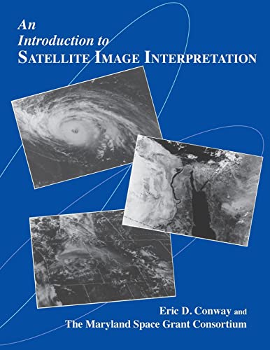
Eric D. Conway and the Maryland Space Grant Consortium present a fascinating introduction to the interpretation of satellite imagery, a technology of increasing importance for a wide variety of scientific applications. Prepared in association with the National Oceanic and Atmospheric Administration (NOAA), this extensively illustrated text offers a thorough overview of the use of satellite technology in Earth and planetary science, weather forecasting, and environmental research.
The book covers the foundations of remote sensing, the types of satellites, and the basics of satellite image interpretation. Other topics include geographical, oceanographical applications, and atmospheric science applications of satellite imagery. With a fully indexed glossary, this well-written and thoughtfully presented text is ideal for science teachers, undergraduate and graduate students, professionals working in the field of operational meteorology, and others interested in knowing more about interpreting satellite imagery.
"synopsis" may belong to another edition of this title.
About the Author
Eric Conway teaches earth science in Carroll County, Maryland. The Maryland Space Grant Consortium aims to provide statewide and national leadership in aerospace science and engineering education research. It conducts programs, training activities, and conferences at institutions of higher learning throughout Maryland.
"About this title" may belong to another edition of this title.
Other Popular Editions of the Same Title
Search results for An Introduction to Satellite Image Interpretation
An Introduction to Satellite Image Interpretation
Seller: ThriftBooks-Reno, Reno, NV, U.S.A.
Paperback. Condition: Good. No Jacket. Pages can have notes/highlighting. Spine may show signs of wear. ~ ThriftBooks: Read More, Spend Less. Seller Inventory # G0801855772I3N00
An Introduction to Satellite Image Interpretation
Seller: ThriftBooks-Atlanta, AUSTELL, GA, U.S.A.
Paperback. Condition: Good. No Jacket. Pages can have notes/highlighting. Spine may show signs of wear. ~ ThriftBooks: Read More, Spend Less. Seller Inventory # G0801855772I3N00
An Introduction to Satellite Image Interpretation
Seller: ThriftBooks-Atlanta, AUSTELL, GA, U.S.A.
Paperback. Condition: Very Good. No Jacket. May have limited writing in cover pages. Pages are unmarked. ~ ThriftBooks: Read More, Spend Less. Seller Inventory # G0801855772I4N00
An Introduction to Satellite Image Interpretation
Seller: ThriftBooks-Dallas, Dallas, TX, U.S.A.
Paperback. Condition: Good. No Jacket. Pages can have notes/highlighting. Spine may show signs of wear. ~ ThriftBooks: Read More, Spend Less. Seller Inventory # G0801855772I3N00
An Introduction to Satellite Image Interpretation
Seller: Better World Books: West, Reno, NV, U.S.A.
Condition: Good. Former library book; may include library markings. Used book that is in clean, average condition without any missing pages. Seller Inventory # 11421604-20
An Introduction to Satellite Image Interpretation
Seller: Better World Books: West, Reno, NV, U.S.A.
Condition: Very Good. Used book that is in excellent condition. May show signs of wear or have minor defects. Seller Inventory # 10577003-6
An Introduction to Satellite Image Interpretation
Seller: Midtown Scholar Bookstore, Harrisburg, PA, U.S.A.
Paperback. Condition: Good. Good - Bumped and creased book with tears to the extremities, but not affecting the text block, may have remainder mark or previous owner's name - GOOD Oversized. Seller Inventory # M0801855772Z3
An Introduction to Satellite Image Interpretation
Seller: HPB-Ruby, Dallas, TX, U.S.A.
paperback. Condition: Very Good. Connecting readers with great books since 1972! Used books may not include companion materials, and may have some shelf wear or limited writing. We ship orders daily and Customer Service is our top priority! Seller Inventory # S_447988379
An Introduction to Satellite Image Interpretation
Seller: Alien Bindings, BALTIMORE, MD, U.S.A.
Softcover. Condition: Very Good. No Jacket. First Edition. Very Good- condition. Unopened CD ROM included. Light curling to edges; otherwise, the covers are in good shape. The binding is square and tight. The interior pages are clean and unmarked. The book will be carefully packaged for shipment for protection from the elements. USPS electronic tracking number issued free of charge. Eric D. Conway and the Maryland Space Grant Consortium present a fascinating introduction to the interpretation of satellite imagery, a technology of increasing importance for a wide variety of scientific applications. Prepared in association with the National Oceanic and Atmospheric Administration (NOAA), this extensively illustrated text and accompanying CD-ROM offer a thorough overview of the use of satellite technology in Earth and planetary science, weather forecasting, and environmental research. The book covers the foundations of remote sensing, the types of satellites, and the basics of satellite image interpretation. Other topics include geographical, oceanographical applications, and atmospheric science applications of satellite imagery. With a fully indexed glossary, this well-written and thoughtfully presented text is ideal for science teachers, undergraduate and graduate students, professionals working in the field of operational meteorology, and others interested in knowing more about interpreting satellite imagery. The accompanying CD-ROM of satellite images enables the user to zoom in on many images (some of which appear in color), use overlays to identify important elements in the satellite image, and keep a notes file. Seller Inventory # 15277
Introduction to Satellite Image Interpretation
Seller: GreatBookPrices, Columbia, MD, U.S.A.
Condition: New. Seller Inventory # 262639-n

