Items related to Twickenham and Petersham 1894: London Sheet 122 (Old...

Buy New
Learn more about this copy
US$ 3.60
Shipping:
US$ 38.76
From United Kingdom to U.S.A.
Top Search Results from the AbeBooks Marketplace
Stock Image
Twickenham and Petersham 1894: London Sheet 122 (Old O.S. Maps of London)
Seller:
Rating
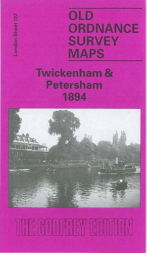
Book Description No Binding. Condition: New. No Jacket. Here are the details of maps for Twickenham & Petersham: London Sheet 122 Twickenham & Petersham 1894 - published 1991; intro by Marilyn Scott. ISBN.978-0-85054-398-8 We have published just the one version of this map. The map covers the eastern part of Twickenham, then reaches across the Thames to include Petersham and Ham on the Surrey side. Twickenham station is in the NW corner of the map, which then stretches eastward to Petersham and part of Sudbrook Park, and southward to Ham. Features include Eel Pie Island, King Street, Church Street, St Mary's church, Oak Lane Cemetery, Orleans House in Twickenham; National Orphans Home and Manor House in Ham; and Bute House, St Peter's church, Douglas House in Petersham. There are street directories for Arragon Road, Church Street, Grosvenor Road, King Street, London Road, Orleans Road, Petersham Road, Queen's Road. The map links up with London Sheets 110 Richmond to the north, 121 West Twickenham to the west, 132 Teddington Lock to the south. Seller Inventory # 007890
Buy New
US$ 3.60
Convert currency