Items related to North Coast Odyssey Inside Passage from Port

Top Search Results from the AbeBooks Marketplace

Stock Image
North Coast Odyssey Inside Passage from Port
Published by
Sono Nis Pr
(1994)
ISBN 10: 1550390325
ISBN 13: 9781550390322
Used
Paperback
Quantity: 1
Seller:
Rating
Book Description Paperback. Condition: Very Good. No Jacket. May have limited writing in cover pages. Pages are unmarked. ~ ThriftBooks: Read More, Spend Less 0.7. Seller Inventory # G1550390325I4N00
Buy Used
US$ 27.98
Convert currency
Stock Image
North Coast Odyssey Inside Passage From Port
Published by
Sono Nis Press, Victoria, British Columbia, Canada
(1993)
ISBN 10: 1550390325
ISBN 13: 9781550390322
Used
Soft cover
Quantity: 1
Seller:
Rating
Book Description Soft cover. Condition: Near Fine. First Edition. As New in Very Good jacket 8vo-over 7¾"-9¾" tall. Inscribed By Author pp.202 with index, references and suggested reading. For navigators all the history and a guidebook to the Inside Passage of British Columbia. clean tight copy with slight edgewear and faint creasing on bottom front cover. b/w photos and maps. Seller Inventory # 001283
Buy Used
US$ 25.95
Convert currency
Seller Image
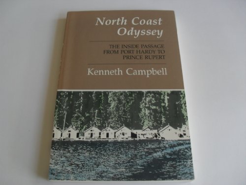
North Coast Odyssey
Published by
Sono Nis, Victoria
(1993)
ISBN 10: 1550390325
ISBN 13: 9781550390322
Used
Soft cover
Quantity: 1
Seller:
Rating
Book Description Soft cover. Condition: Very Good +. B/W Photographs (illustrator). First Edition. SUBTITLED : ` The Inside Passage from Port Hardy to Prince Rupert'. The last pages (113 to 181) are a sequence of b/w maps of some of British Columbia's 10,000 miles of coast lines. Biblio, miscellany, and INDEX make a total of 202 pages. LEARN more about : hanging valleys, Dixon Entrance, Spiller River, and Canadian Hydrographic Service. Text assisted by b/w photographs -some archival. Cond ; Paper wrapper is brown with white lettering. Cover illustration shows a west coast floating village. Volume has name and date of p/o on first page - else bright and clean and crisp. Minimal wear. Excellent west coast reference for geography, history, fauna, logging, and First Nations. QUote (p. 92) : " In November, 1899, the Codvilles moved across Fisher Channel to the tiny rock called Pointer Island. Life was nearly as difficult there. When Captain Walbran, commander of the Canadian government steamer Quadra, visited the lighthouse ._._._. . " Size: 8vo. Seller Inventory # 015144
Buy Used
US$ 22.87
Convert currency
Stock Image
North Coast Odyssey Inside Passage from Port
Published by
Sono Nis Pr
(1994)
ISBN 10: 1550390325
ISBN 13: 9781550390322
Used
paperback
Quantity: 1
Seller:
Rating
Book Description paperback. Condition: Very Good. Very Good. book. Seller Inventory # D8S0-3-M-1550390325-4
Buy Used
US$ 82.29
Convert currency