Items related to American Map Metro Worcester Street Atlas: Central...

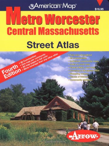
Large scale atlas with street level detail includes city & town statistics, community profiles, individual community maps, index on corresponding map pages, zip codes, a Central Massachusetts Highway Map, places of interest and street map coverage of 85 communities in Worcester County and parts of Franklin, Hampshire, Hamden and Middlesex Counties. Areas included in this atlas are Ashby, Athol, Blackstone, Bolton, Boylston, Brookfield, Charlton, Clinton, Douglas, Dudley, Dunstable, Fitchburg, Gardener, Grafton, Groton, Hardwick, Harvard, Hopkinton, Hubbardston, Leominster, Mendon, Millbury, Milville, Monson, Oakham, Oxford, Palmer, Paxton, Royalston, Shrewsbury, Spencer, Sterling, Sutton, Templeton, Warren, Warwick and Webster.
"synopsis" may belong to another edition of this title.
- PublisherArrow Map
- Publication date2005
- ISBN 10 1557512337
- ISBN 13 9781557512338
- BindingSpiral-bound
- Edition number4
- Number of pages168
(No Available Copies)
Search Books: Create a WantIf you know the book but cannot find it on AbeBooks, we can automatically search for it on your behalf as new inventory is added. If it is added to AbeBooks by one of our member booksellers, we will notify you!
Create a Want
