Items related to Coleraine (North) 1904: Londonderry Sheet 7.03 (Old...

Buy New
Learn more about this copy
US$ 3.61
Shipping:
US$ 38.79
From United Kingdom to U.S.A.
Top Search Results from the AbeBooks Marketplace
Stock Image
Coleraine (North) 1904: Londonderry Sheet 7.03 (Old Ordnance Survey Maps of County Londonderry)
Seller:
Rating
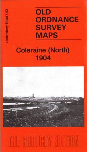
Book Description No Binding. Condition: New. No Jacket. Here are the details of maps for Coleraine: Co Londonderry Sheet 7.03 Coleraine (North) 1904 - published 2019; intro by John Llewelyn. ISBN.978-1-78721-257-2 Co Londonderry Sheet 7.07 Coleraine (South) 1904 - published 2015; intro by John Llewelyn. ISBN.978-1-84784-931-1 We have published two maps for Coleraine. The northern map covers the northern outskirts of the town, including the railway station. The southern map covers most of the town centre, with coverage extending southward to Ratheane Cottage. Features include town centre with individual buildings neatly shown, Coleraine Bridge and River Bann, St John's RC church, Fair Hill, Killowen Distillery, Clothworkers Arms Hotel, Weaving Factory, Town Hall and Diamond, Workhouse, fever hospital, St Malachy's School, St Patrick's church, New Market, etc. Seller Inventory # 002849
Buy New
US$ 3.61
Convert currency