Items related to Macclesfield (North) 1907: Cheshire Sheet 36.08 (Old...

Rare book
"synopsis" may belong to another edition of this title.
- PublisherAlan Godfrey Maps
- Publication date1998
- ISBN 10 1841510009
- ISBN 13 9781841510002
- BindingMap
Buy New
Learn more about this copy
US$ 3.54
Shipping:
US$ 38.09
From United Kingdom to U.S.A.
Top Search Results from the AbeBooks Marketplace
Stock Image
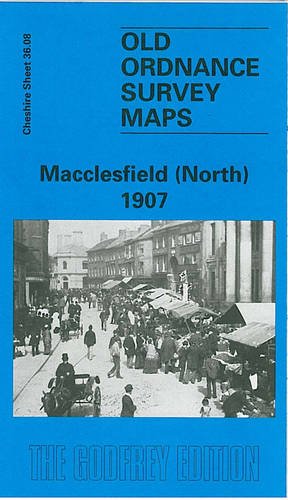
Macclesfield (North) 1907: Cheshire Sheet 36.08
Seller:
Rating
Book Description No Binding. Condition: New. No Jacket. Here are the details of maps for Macclesfield (N): Cheshire Sheet 36.08 Macclesfield (North) 1907 - published 1998; intro by Chris Makepeace. ISBN.978-1-84151-000-2 This detailed map covers the northern part of Macclesfield, with coverage stretching from Great King Street northward to Beech Hall, and from Mount Pleasant eastward to Holy Trinity church. Features include Central station, Hibel Road station, engine shed and goods shed, Lower Heys Mill, Albert Mills, Hurdsfield House, Red House Farm, St Michael's church, Infirmary, Free Grammar School, Market Place, Town Hall, Victoria Park, Macclesfield Union Workhouse, cemetery, West Park, shirt factory, etc. The map links up with Cheshire sheet 36.12 Macclesfield South to the south. Seller Inventory # 000821
Buy New
US$ 3.54
Convert currency