Items related to Larne & Islandmagee 1900: Ireland Sheet 21 (Old...

Buy New
Learn more about this copy
US$ 3.53
Shipping:
US$ 38.03
From United Kingdom to U.S.A.
Top Search Results from the AbeBooks Marketplace
Stock Image
Larne & Islandmagee 1900: Ireland Sheet 21 (Old Ordnance Survey Maps - Inch to the Mile)
Seller:
Rating
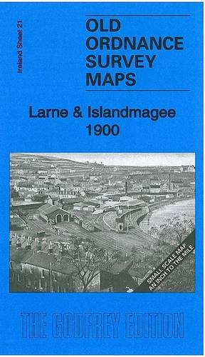
Book Description No Binding. Condition: New. No Jacket. Here is information about Sheet 21: Ireland Sheet 21 Larne & Islandmagee 1900 - published 2011; intro by Alan Godfrey. ISBN.978-1-84784-481-1 This Inch to the Mile map covers Larne, Larne Lough and Islandmagee. Coverage stretches from Ballgalley Head southward to Glenoe. Inevitabvly there is rather a lot of sea on this map, which also includes the Maidens or Hulin Rocks. On the reverse we include a detailed map of the village of Glynn. Seller Inventory # 002866
Buy New
US$ 3.53
Convert currency