Items related to The Oarsman's and Angler's Map of the River...
The Oarsman's and Angler's Map of the River Thames from It Source to London Bridge: A Fold Out Coloured Map of the River at the Height of Its Prosperity
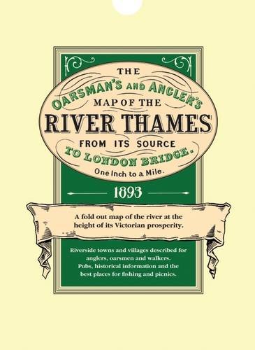

Explore Britain's best loved waterway with the map that must surely have been used by the Three Men in a Boat. Very detailed, one inch to the mile and over 8 feet in length, it shows all 164 miles from the source to London. Riverside towns and villages are marked with historical information and details of the locks and how to operate them. For fishermen, the best pools where trout, pike, perch and others were to be found.
There are also details of toll charges and angling laws and a description of life on the river over a century ago when the Thames was the nation's favourite place for recreation and sport.
Folded and scrolled versions 8 foot 4'' long and 6'' wide, 255.5 x 15.5 cms.
Rolled map in three sections with a coloured, printed 'mount' ready for framing. Overall size with mount 25 x 38'', 63.5 x 97.5 cms.
Available in three styles
Folded in a protective wallet
Price: 9.99
In three sections on one sheet. Rolled with printed 'mount' for framing
Price: 9.99
Scrolled in a gold blocked presentation tube
Price: 15.99
Other titles which might be of interest:
What better way to explore the past than with a detailed contemporary guide book?
Dickens's Dictionary of The Thames, 1887
Coloured Victorian Ordnance Survey Maps of England and Wales 1897
Victorian Maps England and Wales 1897
"synopsis" may belong to another edition of this title.
- PublisherOld House Books
- ISBN 10 1873590016
- ISBN 13 9781873590010
- BindingMap
- EditorEdward Allhusen
Top Search Results from the AbeBooks Marketplace

Stock Image
The Oarsman's and Angler's Map of the River Thames from It Source to London Bridge: A Fold Out Coloured Map of the River at the Height of Its Prosperity
Seller:
Rating
Book Description Condition: Very Good. Book is in Used-VeryGood condition. Pages and cover are clean and intact. Used items may not include supplementary materials such as CDs or access codes. May show signs of minor shelf wear and contain very limited notes and highlighting. Seller Inventory # 1873590016-2-3
Buy Used
US$ 1,498.51
Convert currency