Items related to Michelin Tourist and Motoring Atlas Europe: Large Format...
Michelin Tourist and Motoring Atlas Europe: Large Format (Michelin Tourist & Motoring Atlas) - Softcover
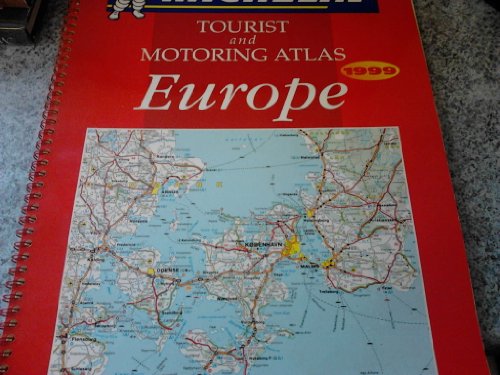
Synopsis
The Michelin Europe Atlas 1999 uses Michelin cartography at a variety of carefully chosen scales. It includes 70 town plans that take in over 40 countries throughout the whole of Europe as well as Driving regulations, distance charts and climate graphs.'
"synopsis" may belong to another edition of this title.
From Library Journal
Indispensable for pan-European travel, this atlas is published in a large, easy-to-use format emphasizing Western Europe but covering all Eastern European countries as well. It includes maps reproduced at scales that reflect the density of each country's road network, maps of cities and towns, driving regulations, distances, and route planning.
Copyright 1999 Reed Business Information, Inc.
"About this title" may belong to another edition of this title.
- PublisherMichelin Travel Pubns
- Publication date1999
- ISBN 10 2061129021
- ISBN 13 9782061129029
- BindingPaperback
- Number of pages130
(No Available Copies)
Search Books: Create a WantIf you know the book but cannot find it on AbeBooks, we can automatically search for it on your behalf as new inventory is added. If it is added to AbeBooks by one of our member booksellers, we will notify you!
Create a Want
