Items related to Atlas Ferraris
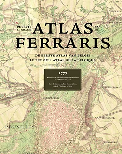

| Cartography is one of the oldest arts known to man. Combining science, aesthetics, and technique, it builds on the premise that we can model reality in ways that communicate spatial information effectively. At the end of the 18th Century, the territory that is now Belgium was mapped by the Austrian Count De Ferraris, thus producing a unique historical document showing an area before the industrial revolution changed the landscape dramatically, it can be viewed as the one and only complete witness of geography during the "Ancien R�gime". With 275 hand-drawn topographic maps on a very detailed scale (1:11520 reduced to 1:25000) this is the first land-covering and detailed map ever made in Western Europe at the same scale. Beautifully illustrated with fantastic attention to detail, this book is a must-have reference material for historians, geographers and cartographers around the world. Text in French & Dutch. |
"synopsis" may belong to another edition of this title.
- PublisherLannoo Publishers (Acc)
- Publication date2011
- ISBN 10 9020992929
- ISBN 13 9789020992922
- BindingHardcover
- Number of pages600
Buy New
Learn more about this copy
US$ 250.82
Shipping:
US$ 17.48
From United Kingdom to U.S.A.
Top Search Results from the AbeBooks Marketplace
Stock Image
Atlas Ferraris: de Eerste Atlas Van Belgie Le Premier Atlas de La Belgique
Published by
Editions Lannoo sa
(2011)
ISBN 10: 9020992929
ISBN 13: 9789020992922
New
Hardcover
Quantity: 1
Seller:
Rating
Book Description hardcover. Condition: New. In French and Flemish large Hardback. Seller Inventory # mon0000327666
Buy New
US$ 250.82
Convert currency