About this Item
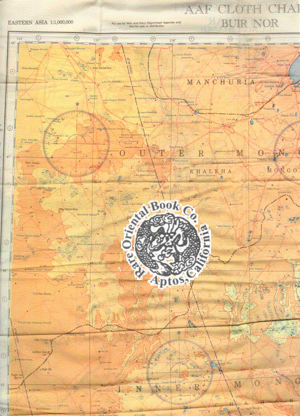
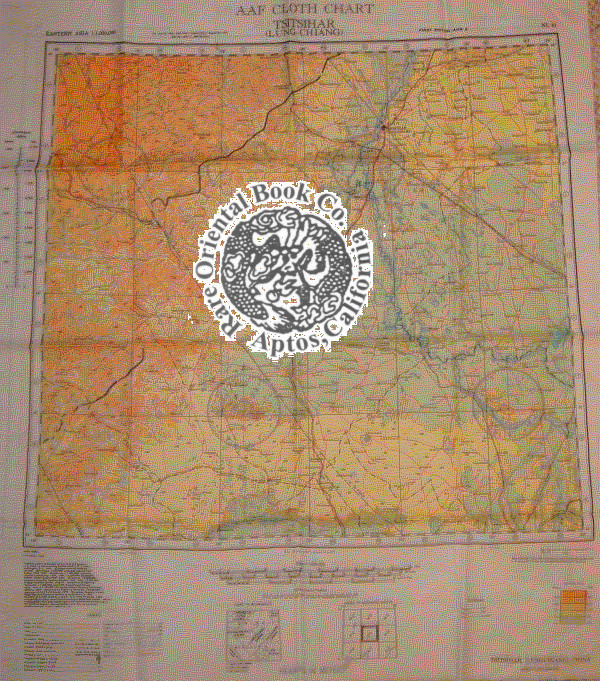
Washington D.C. 1943-1944, Army Map Service.Silk maps, color printed two sides, exceptionally clean, bright copy, opens to 55 x 63 cm., folds to 14.5 x 17 cm., NL 50: 1944; NL 51: 1943, type AMS 2, both maps are the OBSCURE FIRST EDITIONS. . . *** *** *** . . MAP OF EASTERN ASIA . . . ORIGINAL WORLD WAR 2 "E & E" ["ESCAPE & EVASION"] . . . SURVIVAL MAP . . . USED BY "U.S. ARMY AIR FORCES [A.A.F.] "FLYING TIGERS" . . . PILOTS & AIR CREW OF THE 14TH & 23 AIR FORCES . . . THROUGHOUT CHINA 1942-1945 . * This is one of the more obscure maps on An obscure map of North China, Mongolia, Manchuria, the Great Wall & Heilongjiang [formerly Lung-Chiang] . * This silk cloth, map is color printed on both sides. . No.NL 50: BUIR NOR: shows from 48 degrees North to 44 South; 114 West to 120. From the North or top it shows Manchuria Buir Nor lake, North Hsingan, South down to Inner Mongolia, Chahar, West Hsingan. Three magnetic compasses. FIRST EDITION, 1944 AMS 2. . * No. NL 51 TSITSIHAR [Lung-Chiang, as in Heilongjiang]: from 48 degrees North to 44 South; 120 West to 126 East. Shows the Great Wall from the great city of Lung-Chiang [Black Dragon River], down to Nung-an and much of the Sungari River. With three magnetic compasses. FIRST EDITION, 1943, AMS 2. . * INDEX OF COVERAGE: . NL 50: Manchuria, Outer Mongolia, Khalkha Mongols, Silingol League, Inner Mongolia, Chahar, Jo-odo League & West Hsingan. . NL 51: Hsing-an-tung Sheng, Hsing-an-nan Sheng, Pei-an Sheng, Lung-Chiang Sheng, Pin-Chiang Sheng, Manchuria, Hsing-an-Hsi Sheng, Chi-lin Sheng & China. . * With legend keys to map symbols. . INDEX TO ADJOINING SHEETS, glossary, scale: 1:1,000,000, with distance scale in miles, kilometers and nautical miles, altitude tints: key to heights by colors. . This map shows a good portion of the areas held by the Japanese during the Sino-Japanese war 1937-August, 1945. . *** CONDITION: The maps are in excellent, unused condition, there are no stains or other flaws. Like "NEW," in collector's fine condition. . *** SURVIVAL MAP: . This map was part of the U.S. Army Air Force [A.A.F.] & Naval flyers "E & E" [Escape and Evasion] survival kit, printed on thick silk parachute cloth. . These maps were often worn as neck scarves by fighter pilots and other air crew members as scarves for warmth and to insure if they went down the map would be available as their "Last Hope" to evade and escape the Japanese enemy. . Each air crew member carried among other survival supplies, a .38 or .45 caliber pistol, survival knife, a signal mirror [stainless steel or glass], compass and basic food rations, fishing kit, water purification tablets, minor medical supplies; the whole kit was tucked into the pant pocket of the flight suit. . The majority of these perishable maps have been lost during World War 2. Few survived the attrition rate of war, time and sultry Asian climates. This map was given to American fliers in the Pacific war against Japan. It was the "last hope" & chance for downed fliers to navigate their way back to friendly forces. . *** REFERENCES: . BALDWIN, R.E. et al.:LAST HOPE THE BLOOD CHIT STORY. * DOLL, John G.: CLOTH MAPS, CHARTS AND BLOOD CHITS OF WORLD WAR 2. * oth_escape_maps.htm#3.___Asiatic_Series . *.
Seller Inventory # 27066501
Contact seller
Report this item


