About this Item
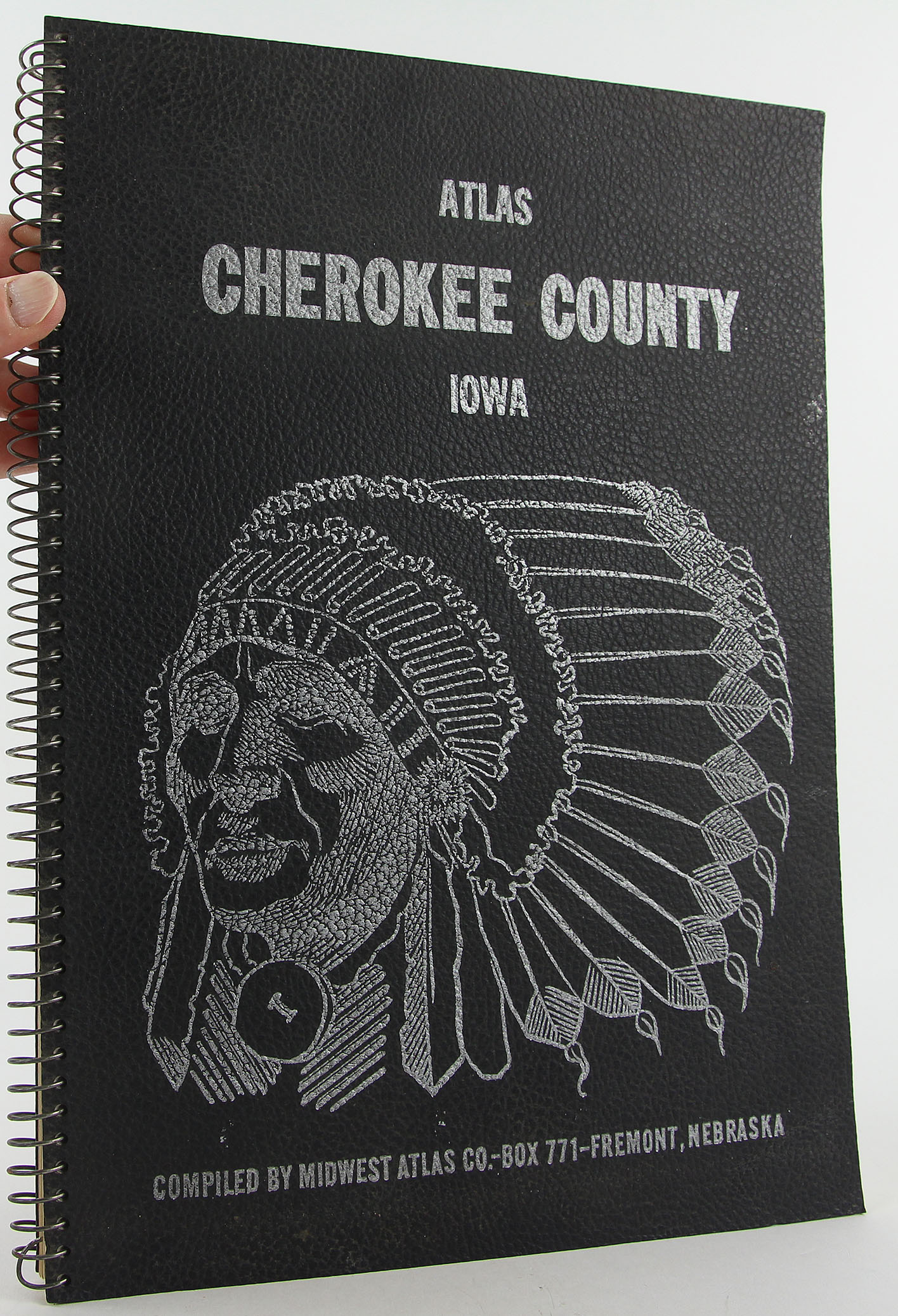
1964 first edition Midwest Atlas Co. (Fremont, Nebraska), 10 x 13 3/4 inches tall wire spiral bound in black faux leather covers with silver design and letter to front cover, copiously illustrated with black-and-white photographs, unpaginated, [138] pp. Moderate soiling and light rubbing and edgewear to covers. Very slight staining to page edges. Otherwise, a very good copy - clean, bright and unmarked - of this rare historical record of Cherokee County, Iowa. Not in OCLC. Note that this is a heavy and oversized book, so additional postage will be required for international or priority orders. ~RCL~ [2.5P] A rare 1964 plat book and rural directory / atlas for Cherokee County, in northwest Iowa, with a comprehensive listing and map of local families / landowners and therefore of value to those researching local history and genealogy. Features plat maps showing ownership for all sixteen townships: Afton, Amherst, Cedar, Cherokee, Diamond, Grand Meadow, Liberty, Marcus, Pilot, Pitcher, Rock, Sheridan, Silver, Spring, Tilden, Willow. The rural directory presents homeowner biographies in alphabetical order with the family farm map, section and farmstead number; the name of the head of the family; telephone number; spouse name; children and grandchildren; religion; parentage of the owner and spouse; local activities and memberships; and mailing address. Many local families and farms and shown in an extensive photography section. Illustrated histories of: Cherokee County, Cleghorn, City of Cherokee, Marcus, Washta, Quimby, Aurelia, Meriden. Illustrated descriptions of local organizations and clubs, and a large section of local business advertisements - itself a remarkable 1964 freeze-frame of area commerce.
Seller Inventory # RCL-0881-9676
Contact seller
Report this item