About this Item
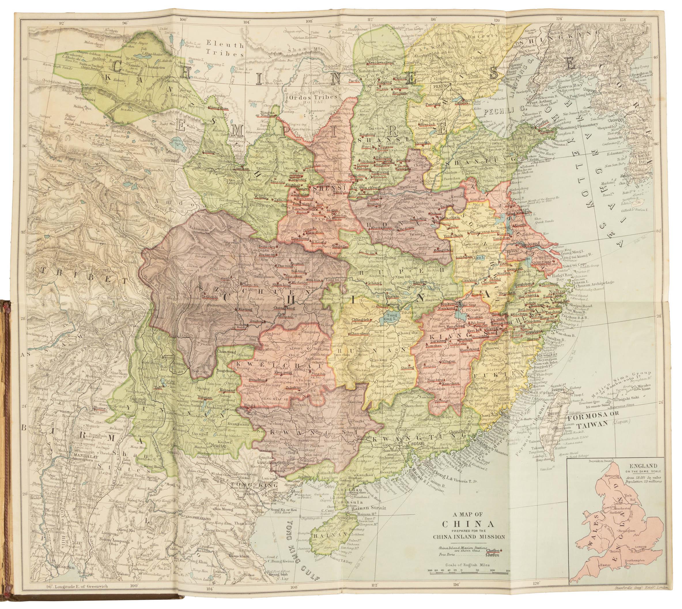
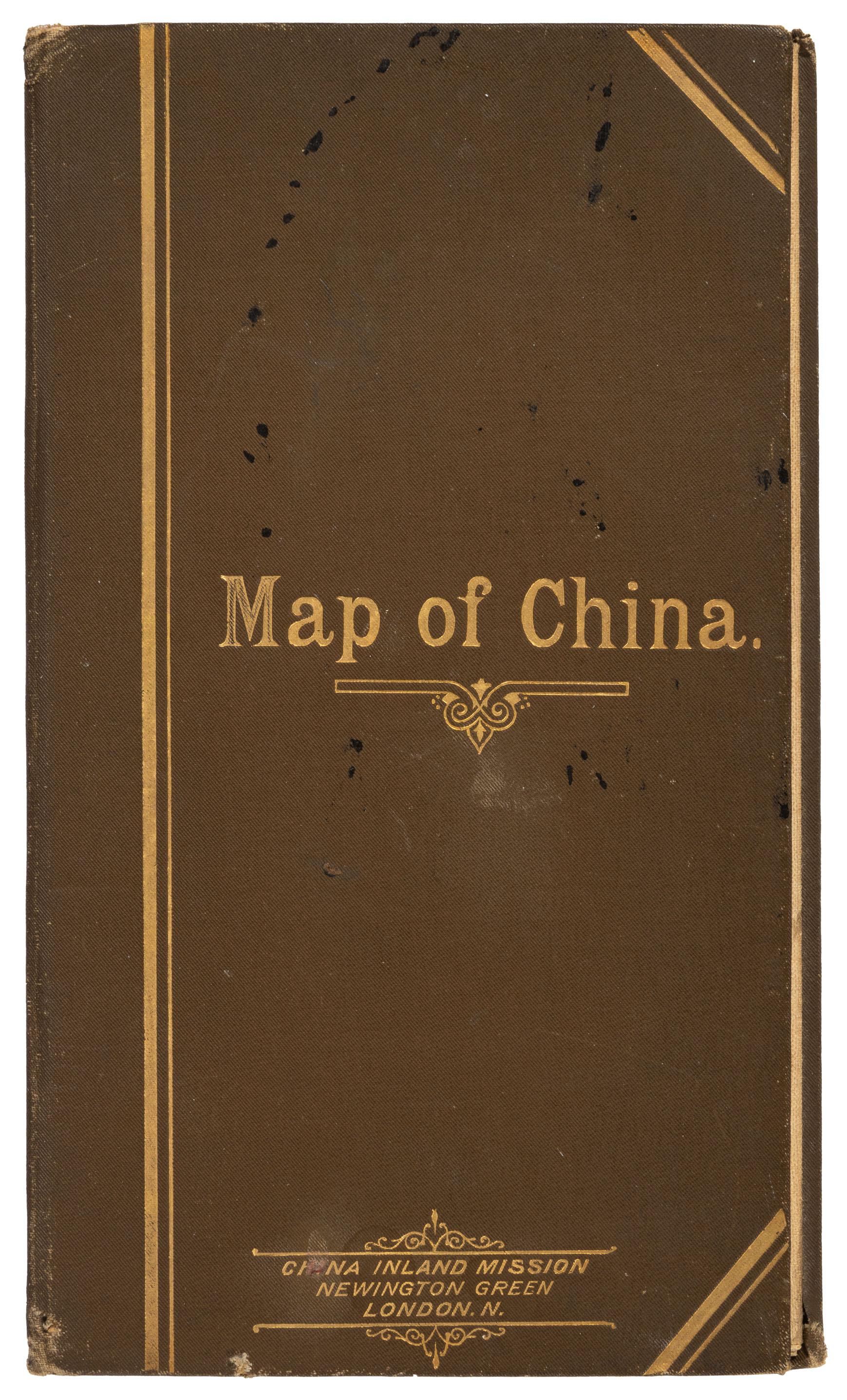
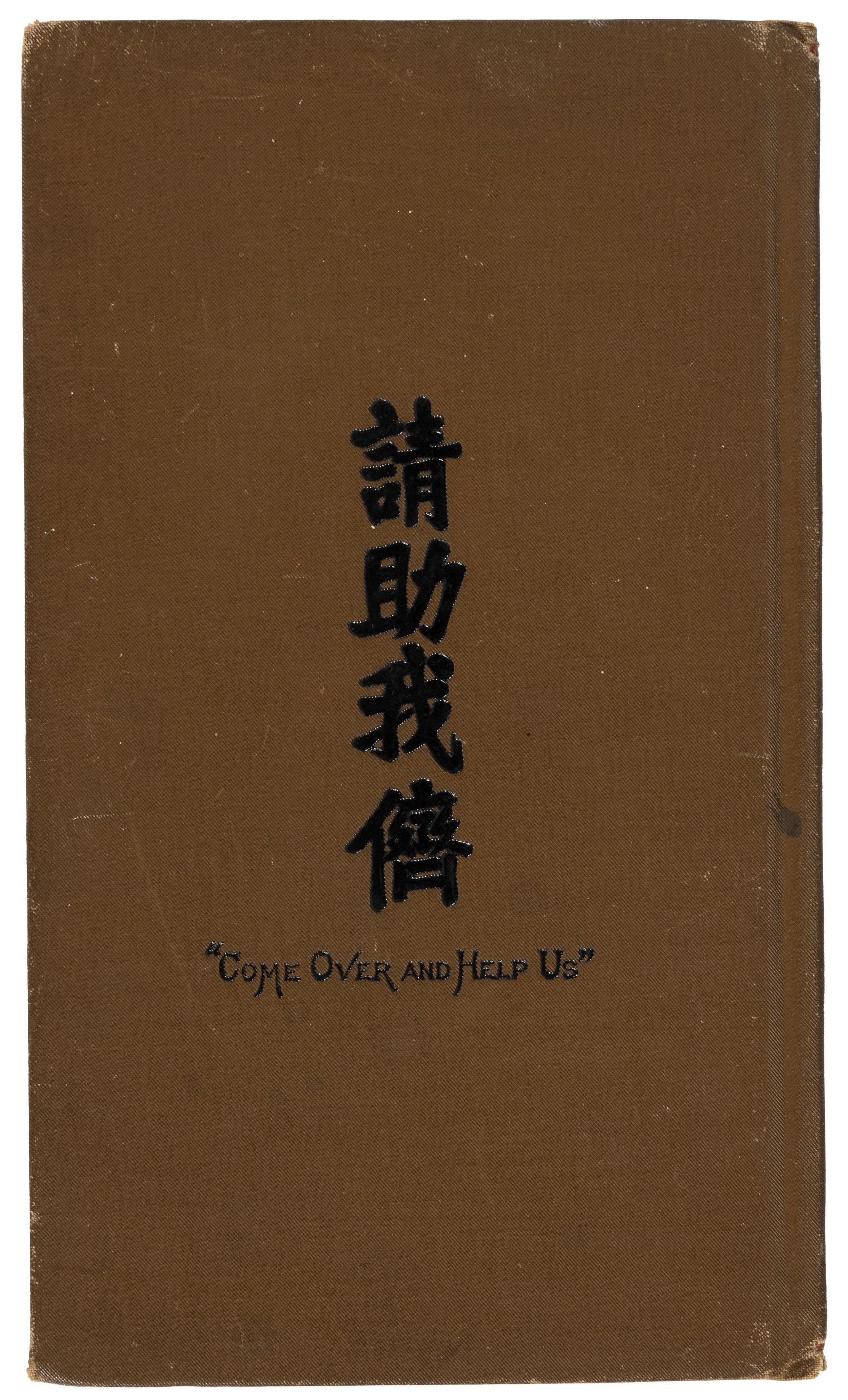
Color map of the Chinese Empire, backed with linen, 42.5 x 48 cm (16 3/4 x 19 inches), folded into the original gilt-lettered olive cloth covers measuring 22.5 x 12.5 cm (8 3/4 x 5 inches). Covers with light spotting, frayed corners; map is in fine condition with no damage. "Come Over and Help Us" in black on back cover, in English & in Chinese characters. This undated map indicates every mission station operated by the China Inland Mission by underlining the location in red, with free ports also noted, underlined with a dotted line. The top is about at the 42nd parallel, with the Eleuth Tribes, the Shan Mountains, the Chahar region north of Peking, and Shingkin of northern Corea along the border. The southern border begins with Rangun on the west, and proceeds into the Tong King Gulf south of Hainan, with an inset map of England on the right for scale. The front cover has Newington Green, London, N. as the Mission's London address; CIM was first at that address in 1895. The map may be a year or two older than the covers, as a copy of the map online suggest the date of 1894.The China Inland Mission (CIM), had begun with Hudson Taylor's first mission station at Hangzhou, Zhejiang, in 1866. The rapid success and expansion of the missionary effort depended upon donations to the cause, and a donor with map in hand could pray for and understand the geographical context of the missionary efforts he was supporting. By 1873 the CIM's missionary headquarters was located in Shanghai, and in July, 1875, they issued their first edition of their journal, China's Millions. The first edition of Stanford's CIM map was published in May of 1878, with reprints offered about every five years until 1928, updating the information with each issue. They consisted of very high quality maps produced in small print runs for those involved with the CIM.Edward Stanford's Geographic Establishment, founded in London in 1853, was the premier cartographic firm of late 19th century world. Their productions were depended upon by governments, explorers, missionaries and surveyors worldwide. "Maintaining a very high standard of lithographic production, Stanford s maps were remarkable for their signature style, employing clear, carefully placed text, clean lines and attractive colours, as brilliantly exemplified by the present work." - Dasa Pahor, antiquariat.
Seller Inventory # 9232
Contact seller
Report this item