
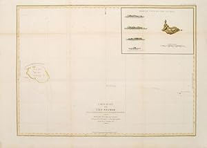
Carte plate de l'Ile Necker.
LA P…ROUSE, Jean Francois de Galaup.
Published by Paris: 1797
From Peter Harrington. ABA/ ILAB., London, United Kingdom
AbeBooks Seller Since July 26, 1999
Seller Rating
![]()