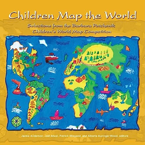
100 world maps drawn, painted, crayoned, sewn, and knitted by children over the past decade are featured in this retrospective survey of the work of young cartographers and symbologists. Many of the images are arresting and offer a wide variety of perspective; younger children's maps are often accompanied by comforting images of childhood, such as teddy bears or birthday cakes, while older children tend to show images of poverty, disease, and warfare. Despite this scattering of painful images, the maps express the worldwide hopes of children for opportunity, economic development, friendship, and international understanding, and they have helped raise the standard for maps and atlases produced for children and young people. This is the first time the International Cartographic Association has ever allowed publication of these striking pieces of artwork.
Jackie Anderson is an associate professor of geography, planning and environment at Concordia University in Montreal and the Canadian chair of the Cartography and Children Commission of the International Cartographic Association. Jeet Atwal is a map specialist at the Maps, Data, and Government Information Centre at Carleton University Library in Ottawa, Ontario. Patrick Wiegand is a reader in geography education at the University of Leeds and the UK chair of the Cartography and Children Commission. Alberta Auringer Wood is a librarian specializing in maps, data, and media at the Queen Elizabeth II Library at Memorial University, Newfoundland.