
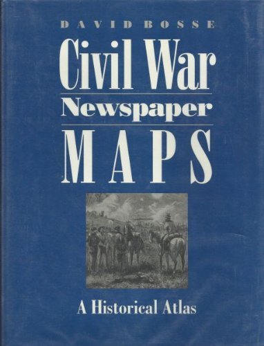
Civil War Newspaper Maps: A Historical Atlas
Professor David Bosse
ISBN 10: 080184553X ISBN 13: 9780801845536
Published by The Johns Hopkins University Press 01/10/1993, 1993
Used
Hardcover
From
Bahamut Media, Reading, United Kingdom
Seller rating 4 out of 5 stars

AbeBooks Seller since August 15, 2012
This specific item is no longer available.
About this Item
Description:
Shipped within 24 hours from our UK warehouse. Clean, undamaged book with no damage to pages and minimal wear to the cover. Spine still tight, in very good condition. Remember if you are not happy, you are covered by our 100% money back guarantee. Seller Inventory # 6545-9780801845536
Synopsis:
In Civil War Newspaper Maps, David Bosse shows how nineteenth-century advances in printing and engraving technology, coupled with an unprecedented public demand for information, led to the development of a means of mass communication still in use today--the quickly produced, up-to-the-minute newspaper battlefield map. Bosse's introduction offers a concise overview of the subject, including how correspondents got maps to their papers from the field, press-military relations during the war, and the economic problems of map printing. Following the text is an atlas of forty-five newspaper maps printed by the Northern daily press, each accompanied by a summary of the military operation it illustrates and a commentary on the map itself.
About the Author: David Bosse is curator of maps at the William L. Clements Library at the University of Michigan, Ann Arbor.
"About this title" may belong to another edition of this title.
Bibliographic Details
Title: Civil War Newspaper Maps: A Historical Atlas
Publisher: The Johns Hopkins University Press 01/10/1993
Publication Date: 1993
Binding: Hardcover
Condition: Very Good