About this Item
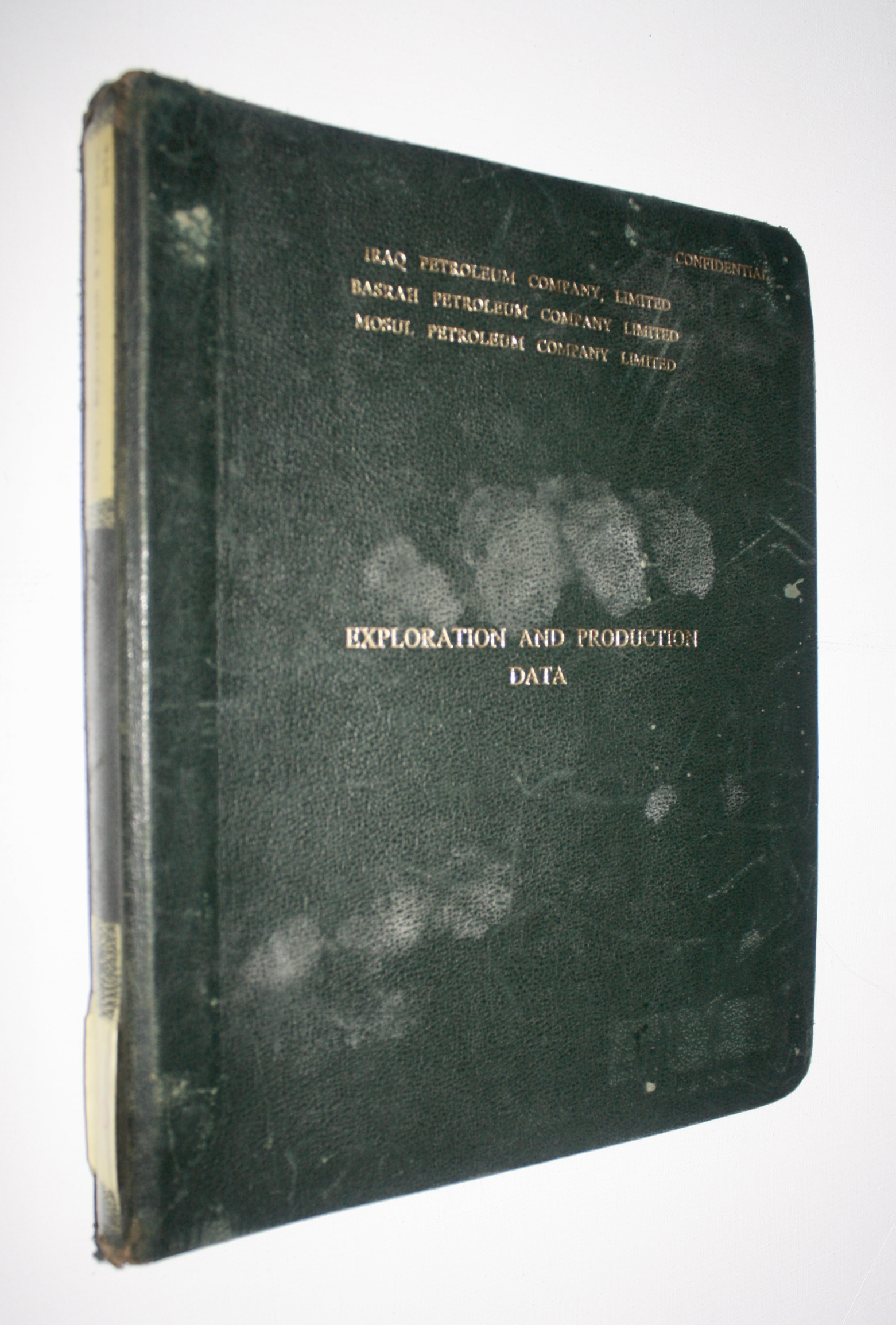
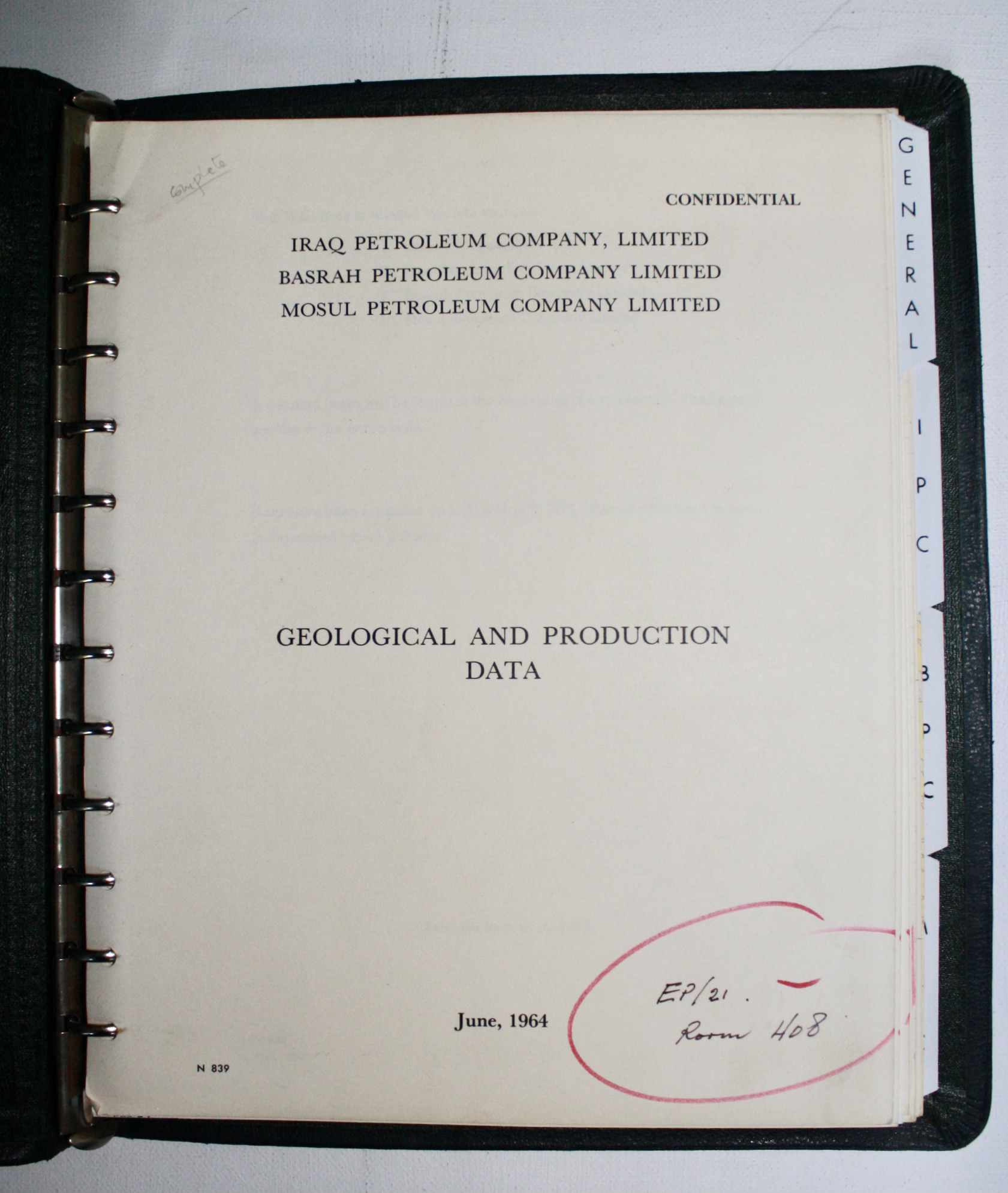
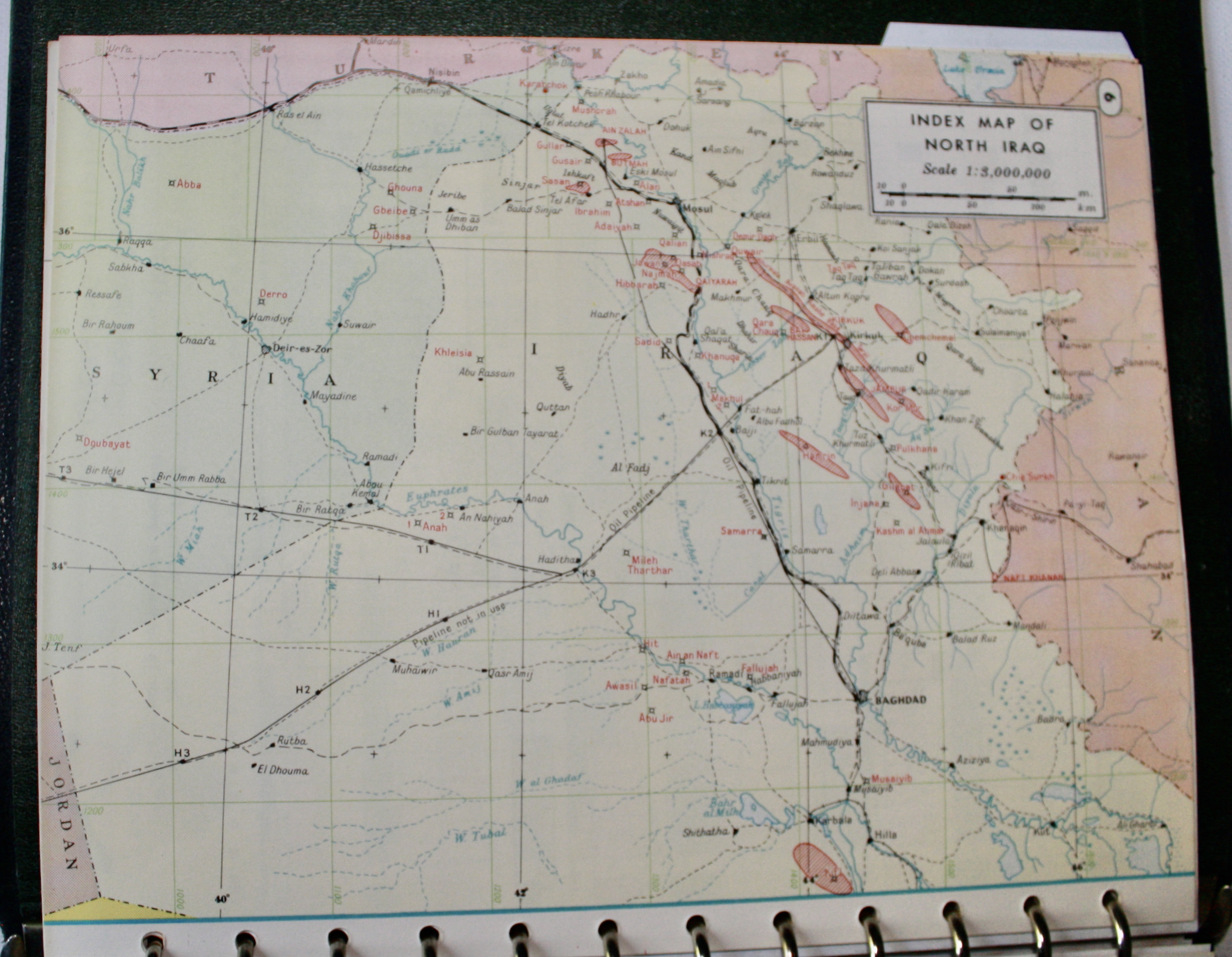
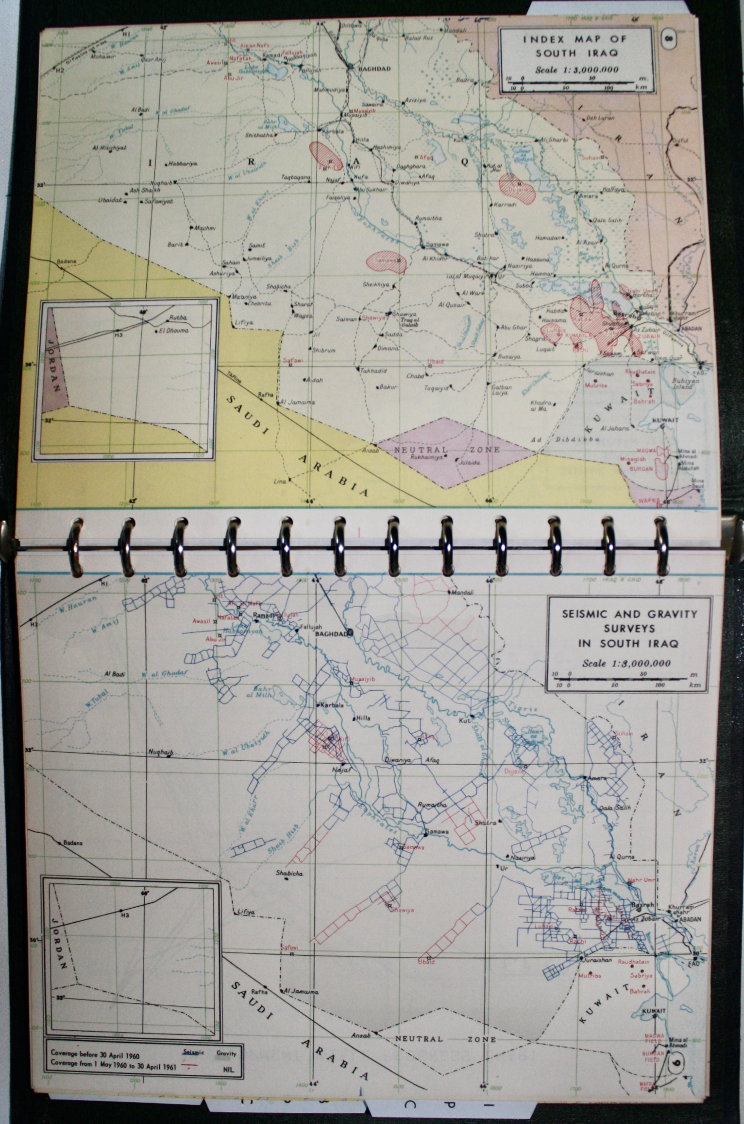
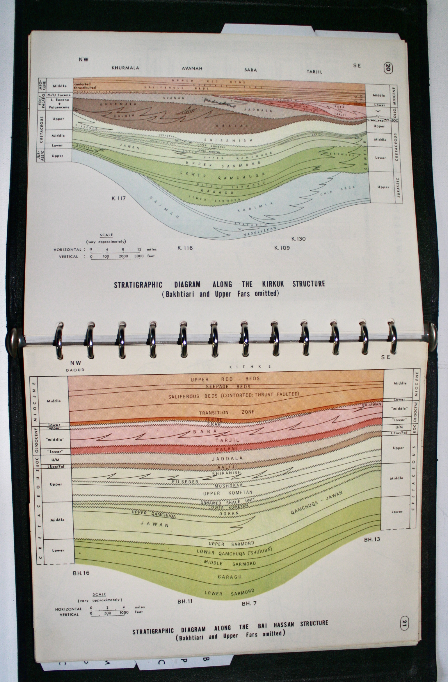
Black 12-ring binder gilt-titled to the front with printed title label to the spine 24x29cm. 7pp preliminaries (title, contents, abbreviations, 2 legends on folding sheets numbered N839-845) + 118pp colour maps, charts and tables (some with multiple leaves or folding) organised by 4 tabbed section dividers (General, IPC, BPC, MPC) + (4)pp section contents. The binder is good, worn to the extremities with handling marks. The interiors are near fine and complete, with manuscript note "EP/21. Room 408" to the main title, and a couple of discreet pencil annotations. The General Information includes 2 additional unindexed full-page maps between pp6-7 (Summary of Wells drilled in North / South Iraq). This extremely rare and confidential in-house manual would have been used by IPC's senior managers and geologists to assist with their planning and decision making. No other references to it were found online. The title is dated June 1964, with some content dated earlier. The date is significant as it follows OPEC's creation (Sept 1960), and the enactment of Law 80 by Qasim's government which took 99.5% of the IPC concession without compensation, immediately halting exploration (12 Dec 1960). This did not affect Zubair and Kirkuk, but brought other territories under state control, with the Iraq National Oil Company formed in Feb 1964 to operate them. IPC came under increasing pressure in the 1960s, and was finally nationalised in 1972. The General Information compares all companies within the group. Maps on a scale of 1:3,000,000 separate out North and South Iraq, with index maps, summary of wells drilled, and Seismic and Gravity Surveys. Charts identify the "rock units" which have paid off, seismic survey operating statistics, progress for development wells and for exploration wells, drilling progress since 1 Jan 1957, expenditures for 1927-63, and average daily production in barrels since 1952. The IPC, BPC and MPC sections include topographical maps on a scale of approx 17 miles to 1 inch for North and South Iraq (showing the pipeline, railway, roads, anticlines, oil field boundaries, number of wells, colour shaded heights etc). There are contour maps (full-page, double-page or folding) for Kirkuk, Jambur, Bai Hassan, Lower Fars, Zubair-Tuba, Rumaila, Ain Zalah, Butmah, and Qaiyarah Oasis. There are related section drawings for wells and for reservoir characteristics, stratigraphic diagrams, elevation diagrams, reservoir behaviour, advance of injected water, production systems, data sheets, well correlation tables, etc.
Seller Inventory # 4281
Contact seller
Report this item