About this Item
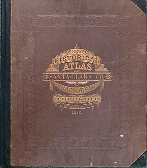
New black morocco spine and corners, original cloth boards stamped in gilt and blind, 110 (i.e. 113) pp. Profusely illustrated with 21 handcolored maps (9 are double-page, several contain inset plats of townships, listed separately in table of contents), 109 lithographed views (10 are double-page, most single-page, several pages contain multiple images). Images and maps are included in the pagination, which also includes pages numbered 16¼ /16½, and 18¼ (verso blank). New spine and corners, boards faded, contents moderately soiled, but complete and free of tears or staining Now famous as the "Silicon Valley," Santa Clara County, one of the original 27 California counties, created and named in February 1850, was once one of California's most beautiful locales and one the state's most fertile agricultural regions. At her eastern boundary lay the southern shore of San Francisco Bay and to the west her stretch of Pacific coastline, with its alternating sandy beaches and rocky tidepools. In the 1870s, Santa Clara County was truly idyllic, as evidenced here in the dozens of views of farms and homesteads shown nestled into a pristine landscape, including a wonderful double-page view of mining works at New Almaden. Text includes a brief history of the county, biographical sketches of early settlers, and tables of information about climate, crops, population, industries, etc. One of the most lavishly illustrated and, we believe, the first published of the California county historical atlases or illustrated histories, issued the same year as an atlas of San Francisco. Cowan p. 567, Rocq 13727, LeGear L478.
Seller Inventory # a00130
Contact seller
Report this item