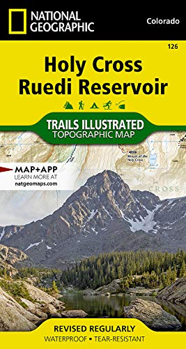
Holy Cross, Ruedi Reservoir Map: Trails Illustrated Maps
Nat Geo Maps
Sold by World of Books Inc, Montgomery, IL, U.S.A.
AbeBooks Seller since March 23, 2026
Used
Condition: Used - Good
Ships within U.S.A.
Quantity: 1 available
Add to basketSold by World of Books Inc, Montgomery, IL, U.S.A.
AbeBooks Seller since March 23, 2026
Condition: Used - Good
Quantity: 1 available
Add to basket? Waterproof ? Tear-Resistant ? Topographic MapNational Geographic's Trails Illustrated map of Holy Cross and Ruedi Reservoir delivers unmatched detail and valuable information to assist you in your exploration of this rugged area. Expertly researched and created in partnership with the U.S. Forest Service and others, this map features key points of interest including White River National Forest, Hunter-Fryingpan and Holy Cross Wilderness areas, Mount of the Holy Cross, Sawatch Range, Turquoise Lake, Sylvan Lake State Park and Continental Divide. Trailheads will lead you to precisely mapped trails with clear mileage indicators and marked according to their designated usage, whether your adventure involves hiking, cross-country skiing, biking, snowmobiling or using some other motorized vehicle. The Continental Divide Trail and Colorado Trail are both highlighted. The map displays contour lines labeled with elevations; passes, peaks and summits; reservoirs, lakes and other water features; and boundaries between public and private land. Some of the many recreation features include campgrounds, fishing areas, including gold medal fishing streams; boat launch points and canoe areas; and 10th Mountain Division huts.Every Trails Illustrated map is printed on 'Backcountry Tough' waterproof, tear-resistant paper. A full UTM grid is printed on the map to aid with GPS navigation.Other features found on this map include: Holy Cross Wilderness, Hunter-Fryingpan Wilderness, Mount of the Holy Cross, Red Table Mountain, San Isabel National Forest, White River National Forest.
Seller Inventory # CIN1566952921G
• Waterproof • Tear-Resistant • Topographic Map
National Geographic's Trails Illustrated map of Holy Cross and Ruedi Reservoir delivers unmatched detail and valuable information to assist you in your exploration of this rugged area. Expertly researched and created in partnership with the U.S. Forest Service and others, this map features key points of interest including White River National Forest, Hunter-Fryingpan and Holy Cross Wilderness areas, Mount of the Holy Cross, Sawatch Range, Turquoise Lake, Sylvan Lake State Park and Continental Divide.
The map displays contour lines labeled with elevations; passes, peaks and summits; reservoirs, lakes and other water features; and boundaries between public and private land. Some of the many recreation features include campgrounds, fishing areas, including gold medal fishing streams; boat launch points and canoe areas; and 10th Mountain Division huts.
Every Trails Illustrated map is printed on "Backcountry Tough" waterproof, tear-resistant paper. A full UTM grid is printed on the map to aid with GPS navigation.
Other features found on this map include: Meredith, Mount of the Holy Cross, Red Table Mountain, White River National Forest.
"About this title" may belong to another edition of this title.
| Order quantity | 4 to 12 business days | 3 to 6 business days |
|---|---|---|
| First item | US$ 0.00 | US$ 10.95 |
Delivery times are set by sellers and vary by carrier and location. Orders passing through Customs may face delays and buyers are responsible for any associated duties or fees. Sellers may contact you regarding additional charges to cover any increased costs to ship your items.