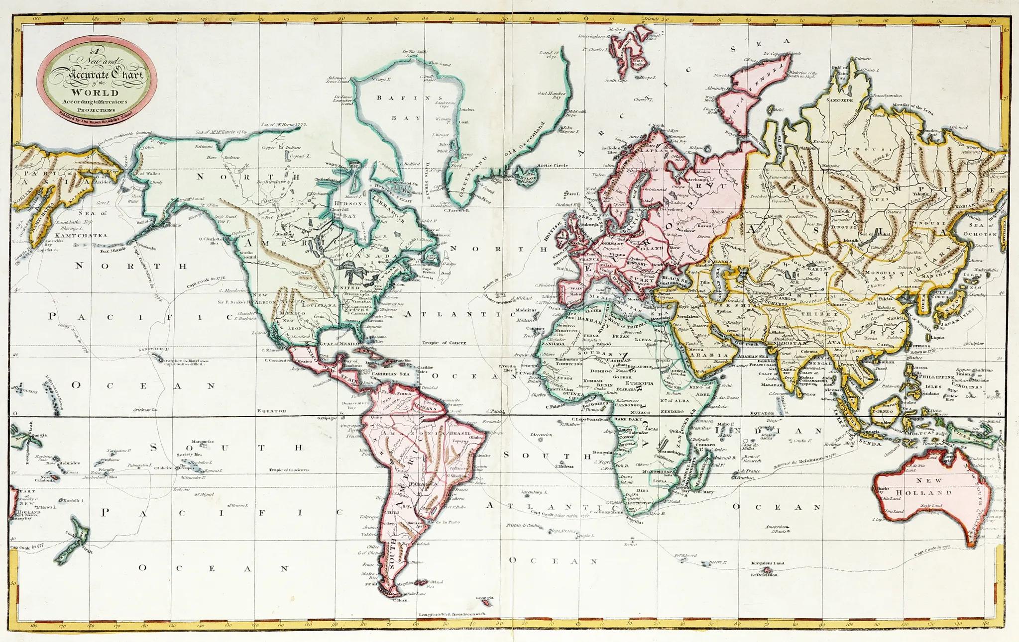
A New and Accurate Chart of the World According to Mercators Projections
Brown, Thomas Robert
From Antique Print & Map Room, Ultimo, NSW, Australia
Seller rating 5 out of 5 stars
AbeBooks Seller since August 1, 2017
From Antique Print & Map Room, Ultimo, NSW, Australia
Seller rating 5 out of 5 stars
AbeBooks Seller since August 1, 2017
About this Item
Rare world map on Mercator's Projection with the tracks of Captain Cook's three voyages. Australia is shown joined to Van Diemen's Land, with the discoveries made on the east coast by James Cook and prior to the charting of the southern coast by Baudin and Flinders. From: Brown's General Atlas Image Size: 590mm x 365mm (23.2" x 14.3"). Condition: Some wear to centre fold, otherwise in good condition. Technique: Hand coloured copper engraving. Seller Inventory # WM 1801 BROWN
Bibliographic Details
Title: A New and Accurate Chart of the World ...
Publication Date: 1801
Binding: No Binding
Condition: Very Good
Store Description
Payment Methods
accepted by seller