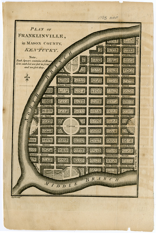
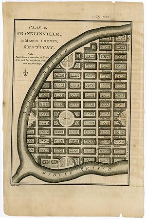
PLAN OF FRANKLINVILLE, IN MASON COUNTY, KENTUCKY [caption title]
[Kentucky]
Published by [New York, 1796
Used
From
William Reese Company, New York, NY, U.S.A.
Seller rating 4 out of 5 stars
![]()
AbeBooks Seller since July 13, 2006
This specific copy is no longer available. Here are our closest matches for PLAN OF FRANKLINVILLE, IN MASON COUNTY, KENTUCKY [caption title] by [Kentucky].
About this Item
Description:
Engraved map, 8 1/2 x 5 1/2 inches. Two small marginal chips, three tiny pinholes not affecting image. An occasional fox mark, faint offsetting. Very good. A 1796 map for the proposed town of Franklinville, Kentucky, which was printed for William Winterbotham's lengthy work on the history, geography, and commercial prospects of the United States and England's remaining North American colonial possessions. The town was supposed to be located at the meeting of the North and Middle Forks of the Kentucky River, near the present day site of Beattyville, but it was never built. Winterbotham was nevertheless optimistic about the prospects of the town, writing in his chapter on Kentucky that in Franklinville: "The farmer will have no need of manuring his grounds for many years to come, nature having already replenished the soil with a stock not soon to be exhausted.". Seller Inventory # WRCAM52349
Bibliographic Details
Title: PLAN OF FRANKLINVILLE, IN MASON COUNTY, ...
Publisher: [New York
Publication Date: 1796
Top Search Results from the AbeBooks Marketplace

Seller Image
PLAN OF FRANKLINVILLE, IN MASON COUNTY, KENTUCKY [caption title].
Published by
[New York? 1796?], 1796
Used
Seller: William Reese Company, New York, NY, U.S.A.
Seller rating 4 out of 5 stars
![]()
A 1796 map for the proposed town of Franklinville, Kentucky, which was printed for William Winterbotham's lengthy work on the history, geography, and commercial prospects of the United States and England's remaining North American colonial possessions. The town was supposed to be located at the meeting of the North and Middle Forks of the Kentucky River, near the present day site of Beattyville, but it was never built. Winterbotham was nevertheless optimistic about the prospects of the town, writing in his chapter on Kentucky that in Franklinville: "The farmer will have no need of manuring his grounds for many years to come, nature having already replenished the soil with a stock not soon to be exhausted." Two small marginal chips, three tiny pinholes not affecting image. An occasional fox mark, faint offsetting. Very good. Seller Inventory # 52349