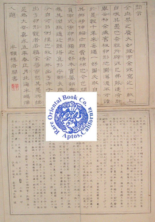
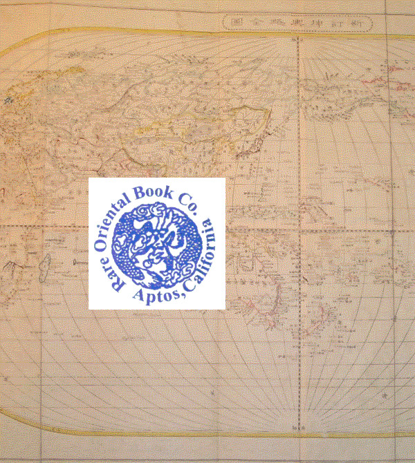
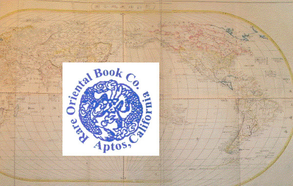
** Please Note: NO TELEPHONE INQURIES: Send all inquiries buy email to:
jgs@rareorientalbooks.com. We do not keep regular hours.
* AVAILABILITY OF BOOKS: If you see it listed, it is most likely available *
*** Please Do Not Call to ask the Availablity of Books ***
THE RARE ORIENTAL BOOK CO. ABAA ILAB
An Art & Intellectual Property Company, Established 1967
We are senior members of the ABAA & ILAB
*
FOR THE PAST 50 YEARS, WE ARE AMERICA'S PREMIER ORIENTAL SPECIALIST DEALER FOR:
ALL COUNTRIES & CULTURES IN ASIA, S.E. ASIA & THE FAR EAST & CENTRAL ASIA.
WE BUY & SELL RARE, SCARCE, CHOICE, SCHOLARLY BOOKS IN THESE AREAS AS WELL
AS ISSUE CATALOGUES OF YOUR CHOICE. PLEASE SEND US YOUR LISTS & OFFERS ON THESE AREAS. CUSTOMERS MAY SEND US YOUR DESIDERATE LISTS WITHOUT OBLIGATION.
*WE ONLY POST A SMALL PERCENT OF OUR INVENTORY OF OVER 25,000
TO ABE...the balance are on our web site: www.rareorientalbooks.com
Please visit ! You may use our search engine to locate any author, title
or subject [your choice of key words] to find our books. You may also
request a free catalogue of your subject choice.
*
WE BUY LIBRARIES OR SINGLE BETTER ITEMS ON:
** ANY ASPECT & CULTURE IN ASIA, S.E. ASIA, FAR EAST, CENTRAL ASIA
* We can travel to view your collection, please contact us and
send a brief hand list of author, title, imprint, condition.
We travel worldwide to view & buy libraries & single better items.
Or phone us at [831] 689 0203 California time.
Visit Seller's Storefront
Association Member
Members of these associations are committed to maintaining the highest standards. They vouch for the authenticity of all items offered for sale. They provide expert and detailed descriptions, disclose all significant defects and/or restorations, provide clear and accurate pricing, and operate with fairness and honesty during the purchase experience.
Seller's business information
RARE ORIENTAL BOOK CO., ABAA, ILAB
CA, U.S.A.
Sale & Shipping Terms
Terms of Sale
*** ALL ORDERS REQUIRE PREPAYMENT BEFORE WE CAN SHIP ***
- PREPAYMENT REQUIRED UPON PRESENTATION OF PRO-FORMA INVOICE *
* PAYMENT METHODS LISTED ABOVE *
!! Attention Califorinia Buyers: All orders delivered to California are subject to California sales tax. We shall be adding that amount to all such orders. Resale numbers from UNKNOWN booksellers or non-booksellers will not be accepted. !! We will check the Califorina state equalization board to see what sort of a resale number you have. If you ar...
More Information
Shipping Terms
The cost of shipping depends on destination and weight and method of shipping. Costs listed are a 'general guideline' and do not reflect ACTUAL COSTS. We reserve the right to adjust shipping, insurance, registry and signature required fees according to current rates.
.
Orders usually ship within 2-4 business days after payment. The average shipping cited is for a book weighing 2.2 LB, or 1 KG. If your book order is heavy, oversized and of a certain value we will inform you of the actual price to ship, insure and signature required.
.
DOMESTIC: Shipping is by U.S. Postal Service, media or other services at your choice, at our chioce
insurance, registry & or signature may be required.
Fedex is avaliable please inquire with your choice of shipping speed. Insurance, signature required,
based on value, at our choice, fees apply.
*
INTERNATIONAL: All books go by U.S. POSTAL SERVICE Air mail, unless you request Fedex.
Fedex is available, your choioce of speed and service, at our option, we add insurance & signature required, fees apply.

