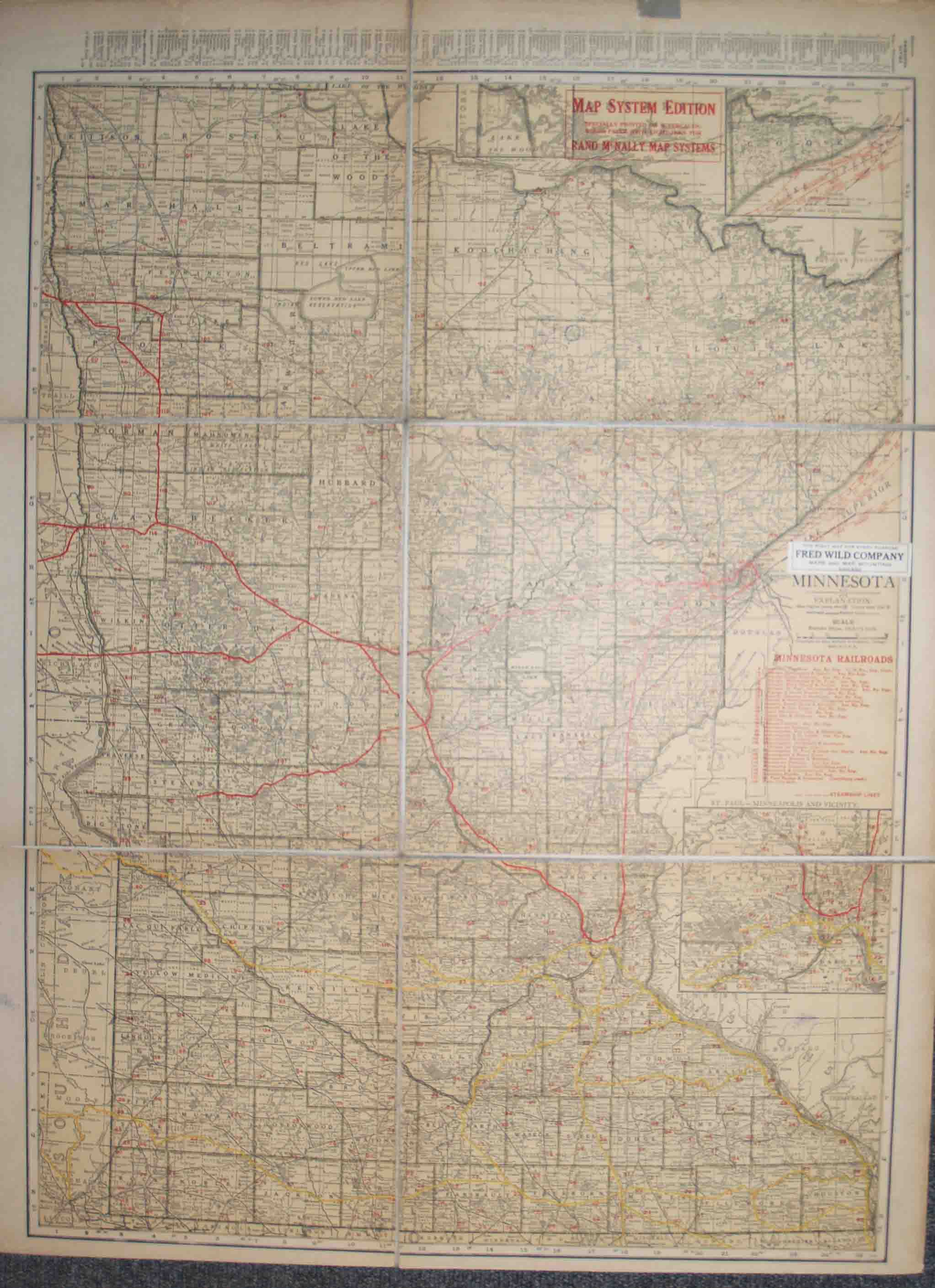
Standard Map of Minnesota (Map System Edition)
Rand McNally & Co.
Sold by High Ridge Books, Inc. - ABAA, South Deerfield, MA, U.S.A.
Association Member:
AbeBooks Seller since July 30, 1998
Used
Quantity: 1 available
Add to basketSold by High Ridge Books, Inc. - ABAA, South Deerfield, MA, U.S.A.
Association Member:
AbeBooks Seller since July 30, 1998
Quantity: 1 available
Add to basketFolded map, dissected and backed with linen, in fine condition. Black covers with index tab, indicating that this was designed for inclusion with a larger group of maps. Inset maps of the Vicinity of St. Paul-Minneapolis, of Cook County, and of the northern extension of Lake of the Woods. Shows in red and identifies 29 rail lines running through the state. The map indicates that it was published as part of the Map System Edition of Rand McNally's maps, but no maps could be located with this identifier in an on-line search.
Seller Inventory # m01356
Checks must be received before material will be sent.
Shipping costs are based on books weighing 2.2 LB, or 1 KG. If your book order is heavy or oversized, we may contact you to let you know extra shipping is required.