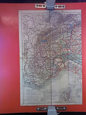
Strassen Karte der Alpen und des nördlichen Apennin. LANDKARTE. Maasstab = 1.850,000. Gotha Justus Perthes 1859. Maße Karte ca. 57 x 43 cm.

Gezeichnet von Hermann Berghaus

Published by Druck v. C. Hellfarth in Gotha, 1859
Condition: very good

From biblion2, Obersulm, Germany

Seller rating 5 out of 5 stars 5-star rating, Learn more about seller ratings

AbeBooks Seller since March 3, 2015

View this seller's items


Buy Used

Price: US$ 65.64 Convert Currency
Shipping: US$ 23.76 From Germany to U.S.A. Destination, rates & speeds

Quantity: 1 available

Add to basket