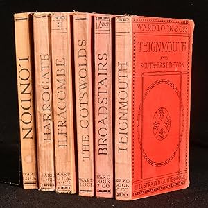
About this Item
Six very neat volumes of illustrated guides to areas of the U.K. Six volumes. From Ward, Lock & Co. Guide to The Cotswolds, 1910 With fifty illustrations on plates, four fold-out maps three of which are in colour, and one plan. Collated complete. A Pictorial and Descriptive Guide to Broadstairs, Ramsgate, Margate, Herne Bay, Canterbury, and North-East Kent, Fifth Edition Revised in 1913 With nearly one hundred illustrations. Five fold-out maps in colour. Collated complete. A Pictorial and Descriptive Guide to Teignmouth and the South Devon Coast from The Axe to The Teign, Seventh Edition Revised in 1919 With upwards of fifty illustrations. Four fold-out maps. Collated complete. A Pictorial and Descriptive Guide to Ilfracombe, Barnstaple, Bideford, Woolacombe, and North-West Devon, Twelfth Edition Revised in 1931 With sixty illustrations. Ten maps and plans, four of which fold-out. Collated, missing part of one map due to tears. Guide to Harrogate, Knaresborough, Ripon, Ilkley, Bolton Abbey, Fountains Abbey, York, and the Dales, Fourteenth Edition Revised in 1940 With sixty illustrations. Three fold-out maps. Collated, missing part of one map due to tears. Guide to London, Fifty-Seventh Edition 1950 With four fold-out maps. Collated complete. Large section plans of Central London, maps for road and railway, and numerous other illustrations. Each volume has many pages of publisher's advertisements to the front and rear. In the original red cloth binding. Externally, smart with light shelf wear and bumping to the extremities. Harrogate volume has tide marks to the boards. Internally, firmly bound. Harrogate edition binding is loosening in places. Pages are bright and clean with the odd handling mark. Few tears to fold-out maps due to handling. Very Good.
Seller Inventory # 848T49
Contact seller
Report this item