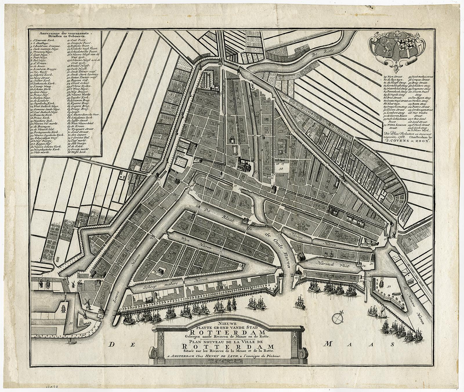
Antique Print-MAAS-ROTTE-ROTTERDAM-PLAN-de Leth-Covens-1768
Sold by ThePrintsCollector, Zeeland, Netherlands
AbeBooks Seller since April 3, 2017
Used
Quantity: 1 available
Add to basketSold by ThePrintsCollector, Zeeland, Netherlands
AbeBooks Seller since April 3, 2017
Quantity: 1 available
Add to basketAntique print, titled: 'Nieuwe platte grond vande stad Rotterdam geleegen aande rivieren de Maase en de Rotte.' - This map shows a new map of the city of Rotterdam situated on the river Maas and Rotte. With extensive key and dual coat of arms. Scarse. Engraving on hand laid paper. Description: A slightly later edition of the original, very scarce map from 1748. This 1768 plan was approved by J. Covens & ZoonArtists and Engravers: Made by 'Hendrik de Leth' after an anonymous artist. Made by 'Hendrik de Leth' after own design. Hendrik de Leth (Amsterdam, 1703-1766). De Leth was a printmaker and draughtsman of landscapes, active in Amsterdam. He was one of the artists who collaborated on Zegepralent Kennemerland, but also published numerous quite beautiful maps. Engraver, publisher and painter, active in Amsterdam, worked for the Visscher family and eventually took over the business. De Leth is better known as an artist and engraver than as a cartographer although his historical atlas of the Netherlands was a very popular work. Condition: Good, given age. Some small stains. Original middle fold, as issued. Light creasing. Remains and slight rubbing from attachment to carrier to the front of the sheet, in margins, not effecting plate or image. General age-related toning and/or occasional minor defects from handling. Please study scan carefully. Storage location: TPC-Expo-P11-28 The overall size is ca. 21.4 x 18.1 inch. The image size is ca. 19.3 x 16.1 inch. The overall size is ca. 54.3 x 45.9 cm. The image size is ca. 48.9 x 41 cm.
Seller Inventory # 56247