
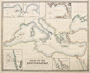
Chart of the Mediterranean
PHILIP GEORGE & son
Published by Liverpool, 1859
Art / Print / Poster
From libreria antiquaria perini Sas di Perini, Verona, VR, Italy
Seller rating 5 out of 5 stars
![]()
AbeBooks Seller since September 18, 2006